
Distance: 15K
Total Hours: 6 hrs
Elevation: +660m, -940m
Steps taken: 32,291
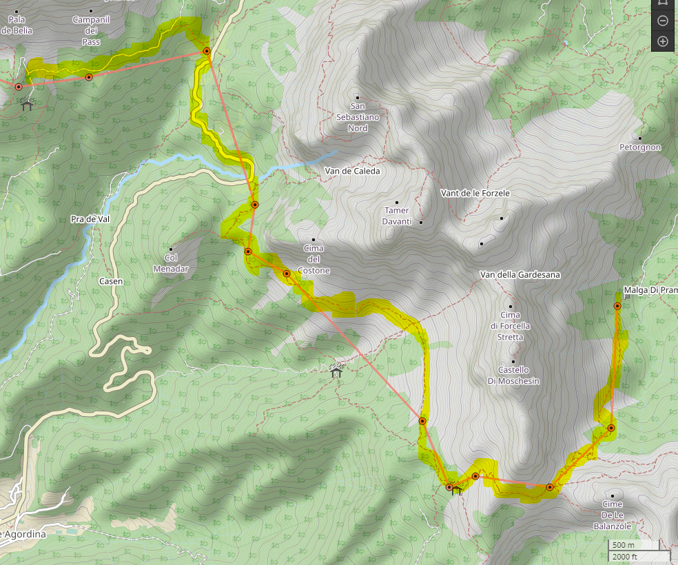
Rifugio Carestiato –> Malga Moschesin –> Malga Pramper
Since we still had so many snacks, we decided to not purchase a picnic lunch and finish off the rest of our food. We brought our usual 2.5L of water per person, assuming that there was not going to be a water source to refill (better safe than sorry). The plan for the day was to meet our Zoldo Bus driver at 3:30PM at Malga Pramper for a transfer to Hotel Garni Posta in Forno di Zoldo.
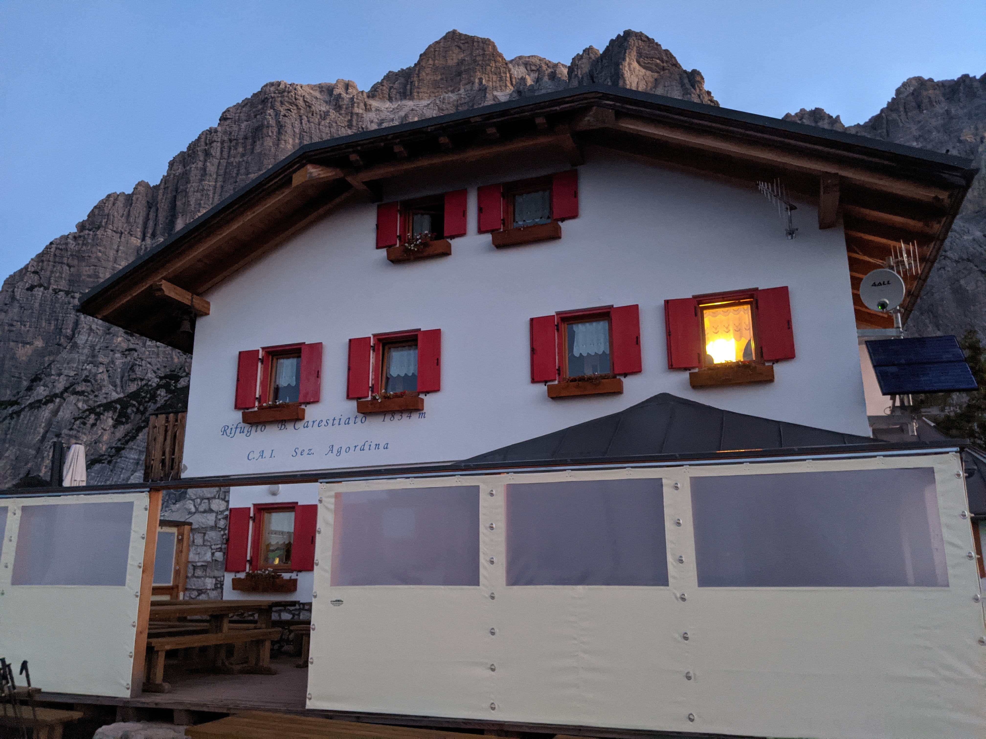
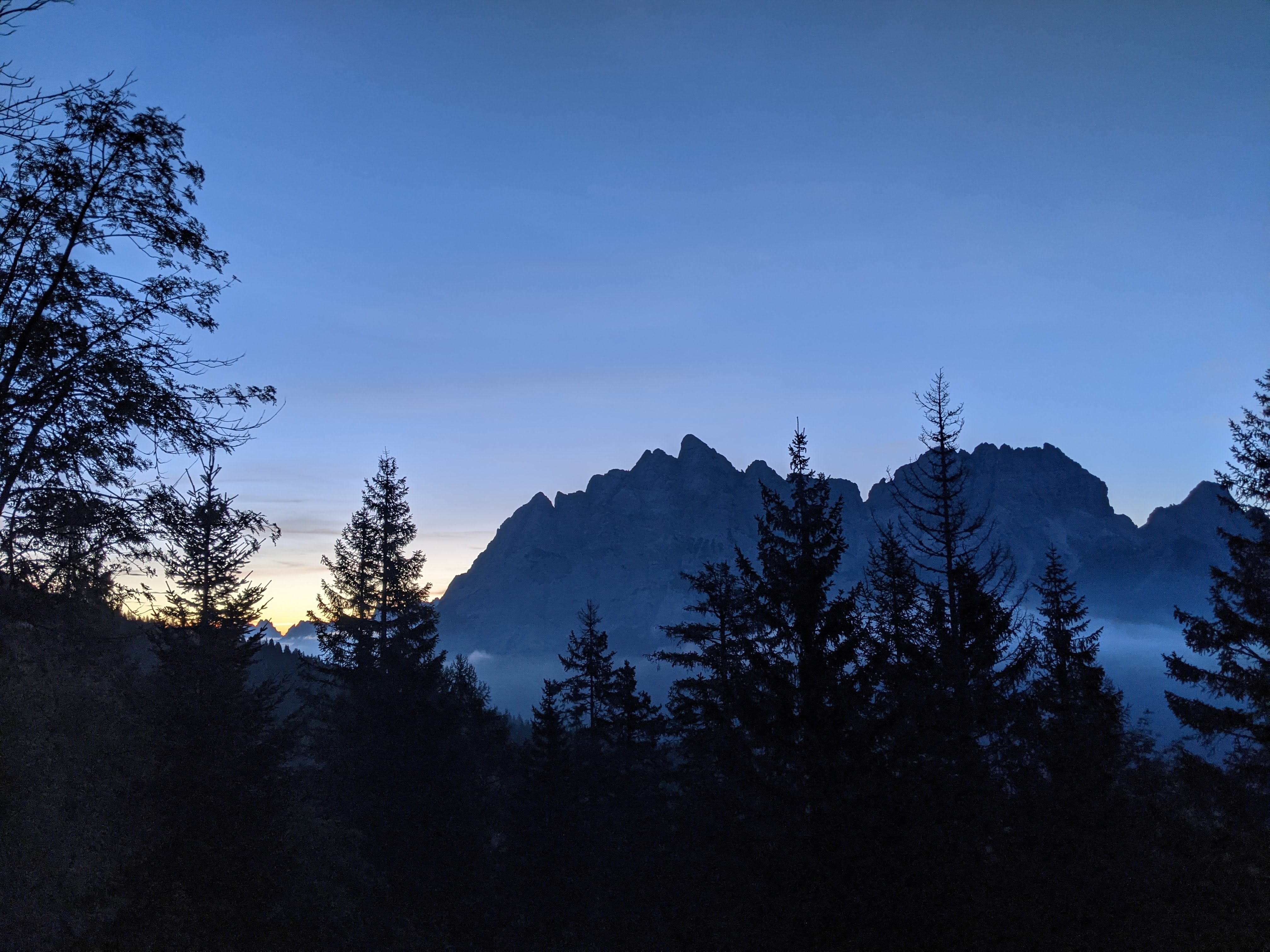
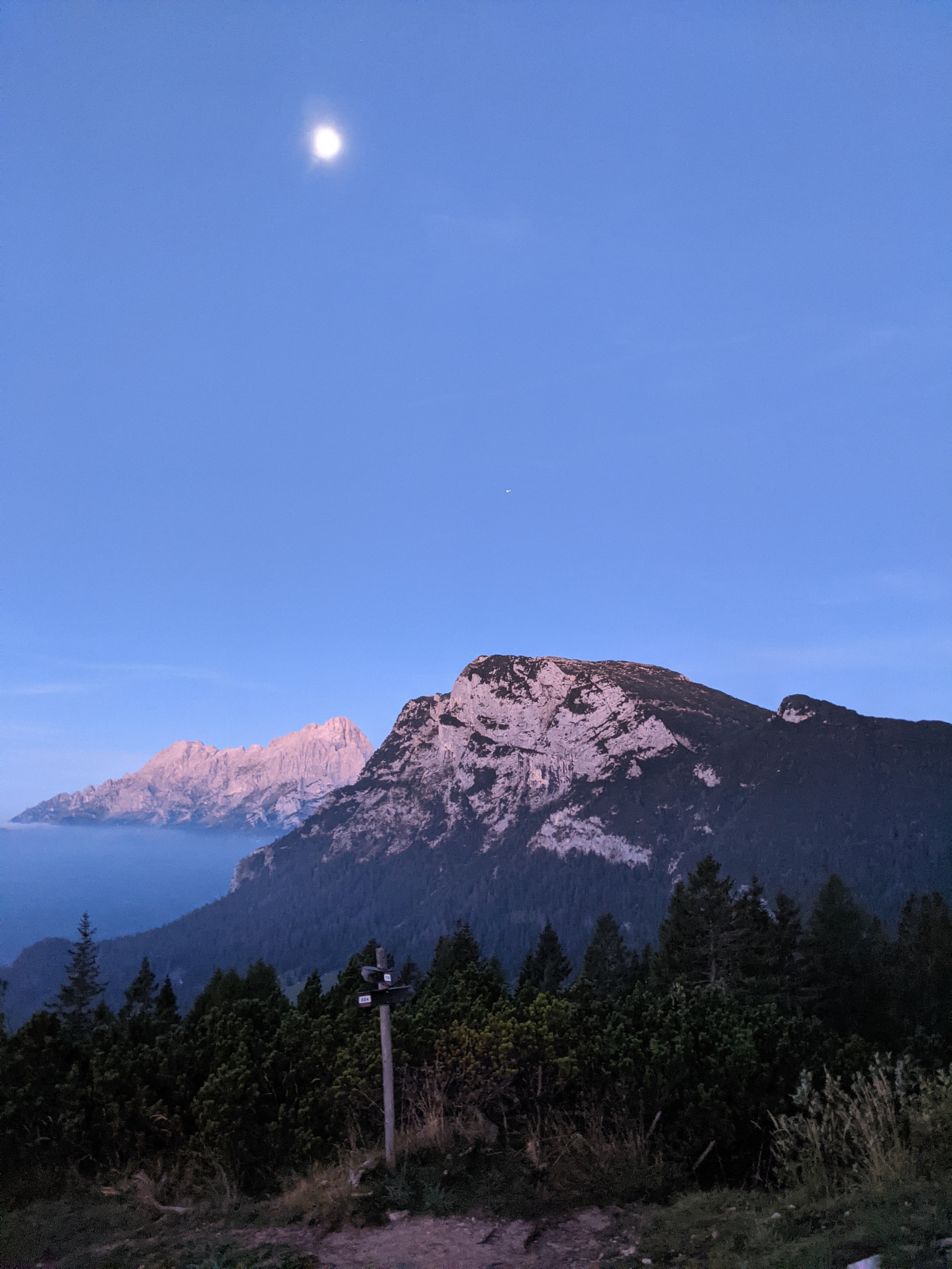
Alpenglow was beautiful – sky was clear and the clouds look like a body of water by the mountains. The beautiful sunrise was rejuvenating.
There is an option to hike directly to Forno di Zoldo if the weather is bad (via trail 536. Since the weather forecast was predicting a sunny and warm day, we took the way through Malga Moschesin. This part of the hike was also supposed to feel remote – we wanted that feeling for one more day before heading to Venice the next day.
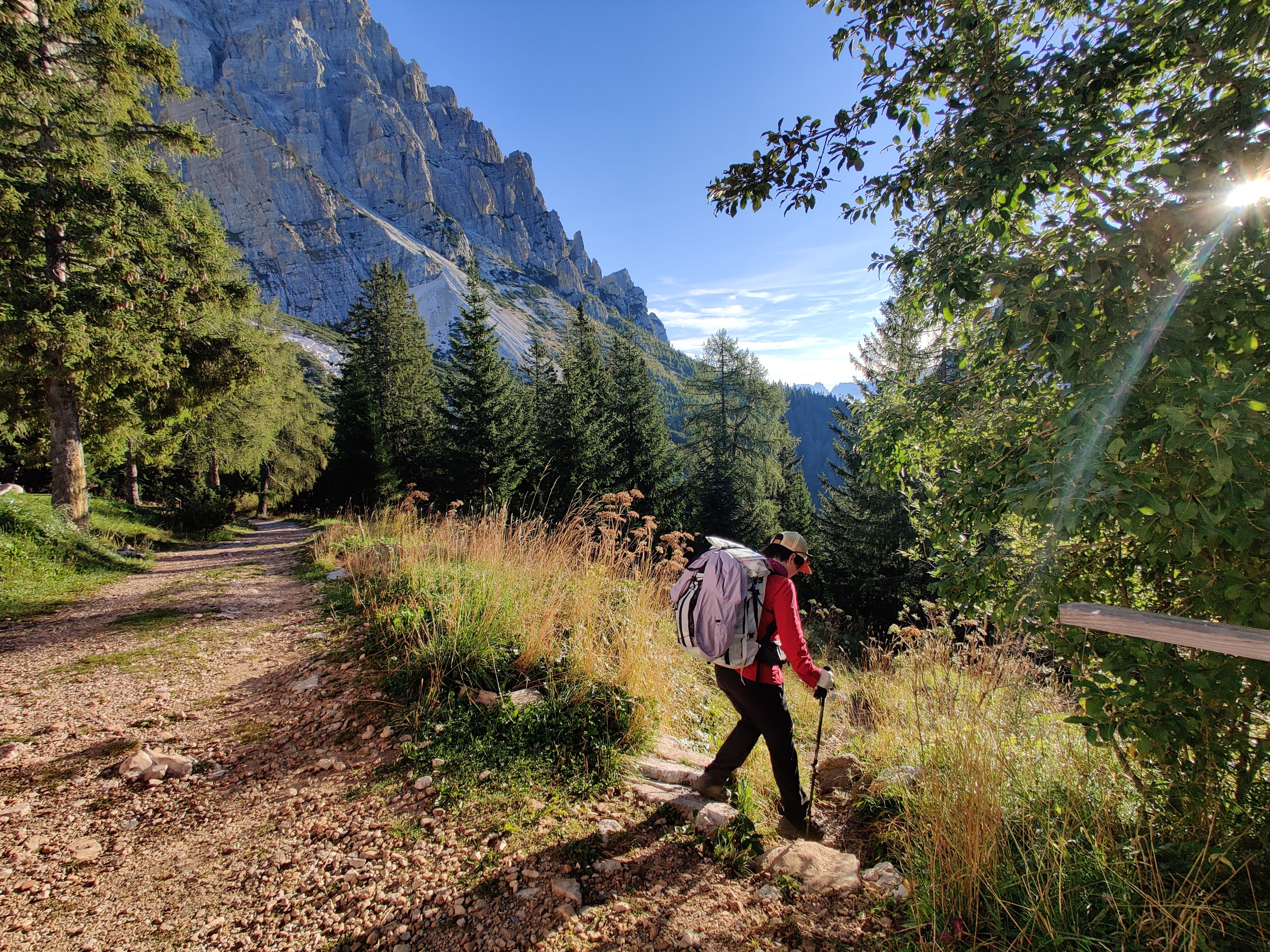
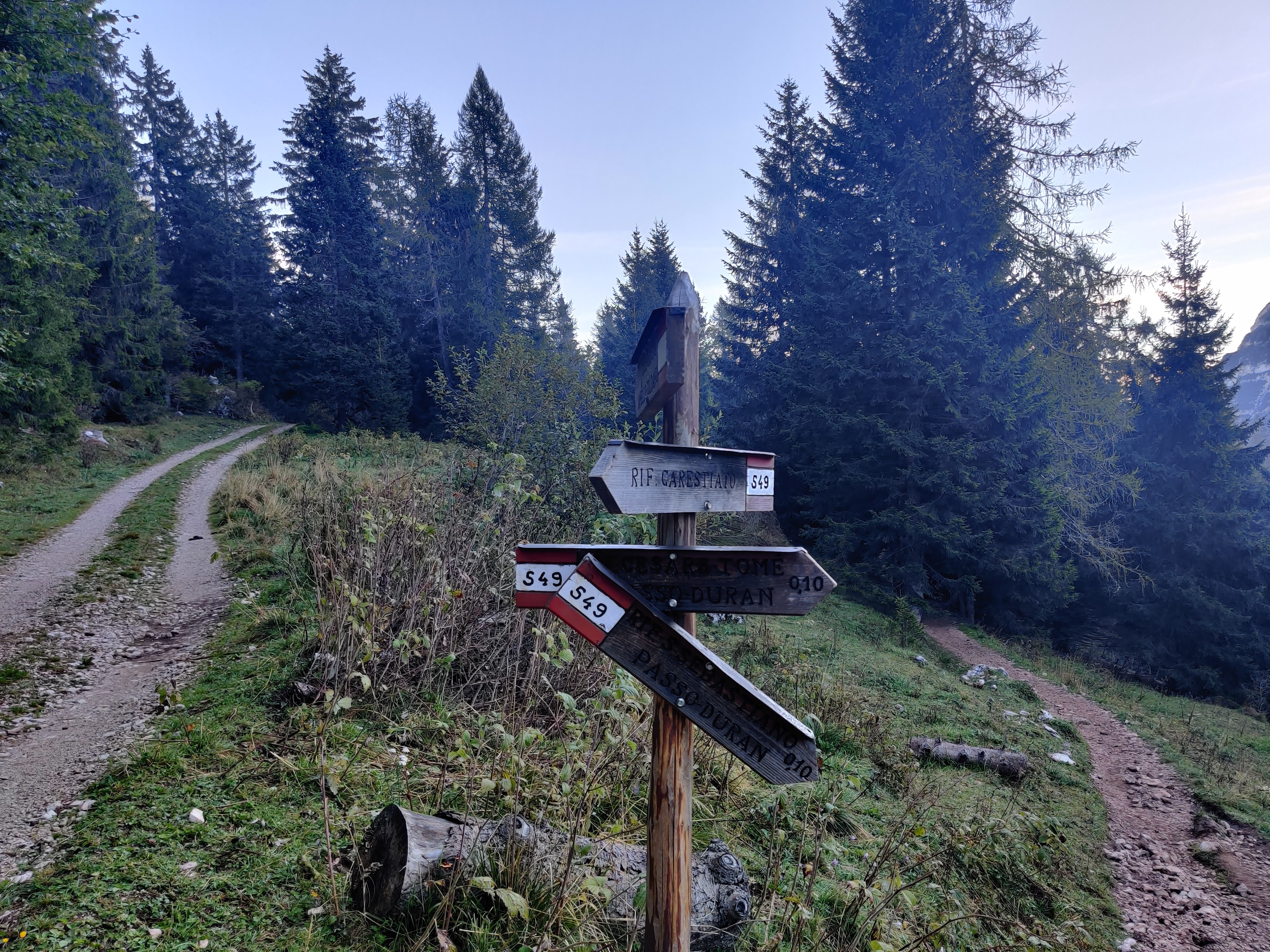
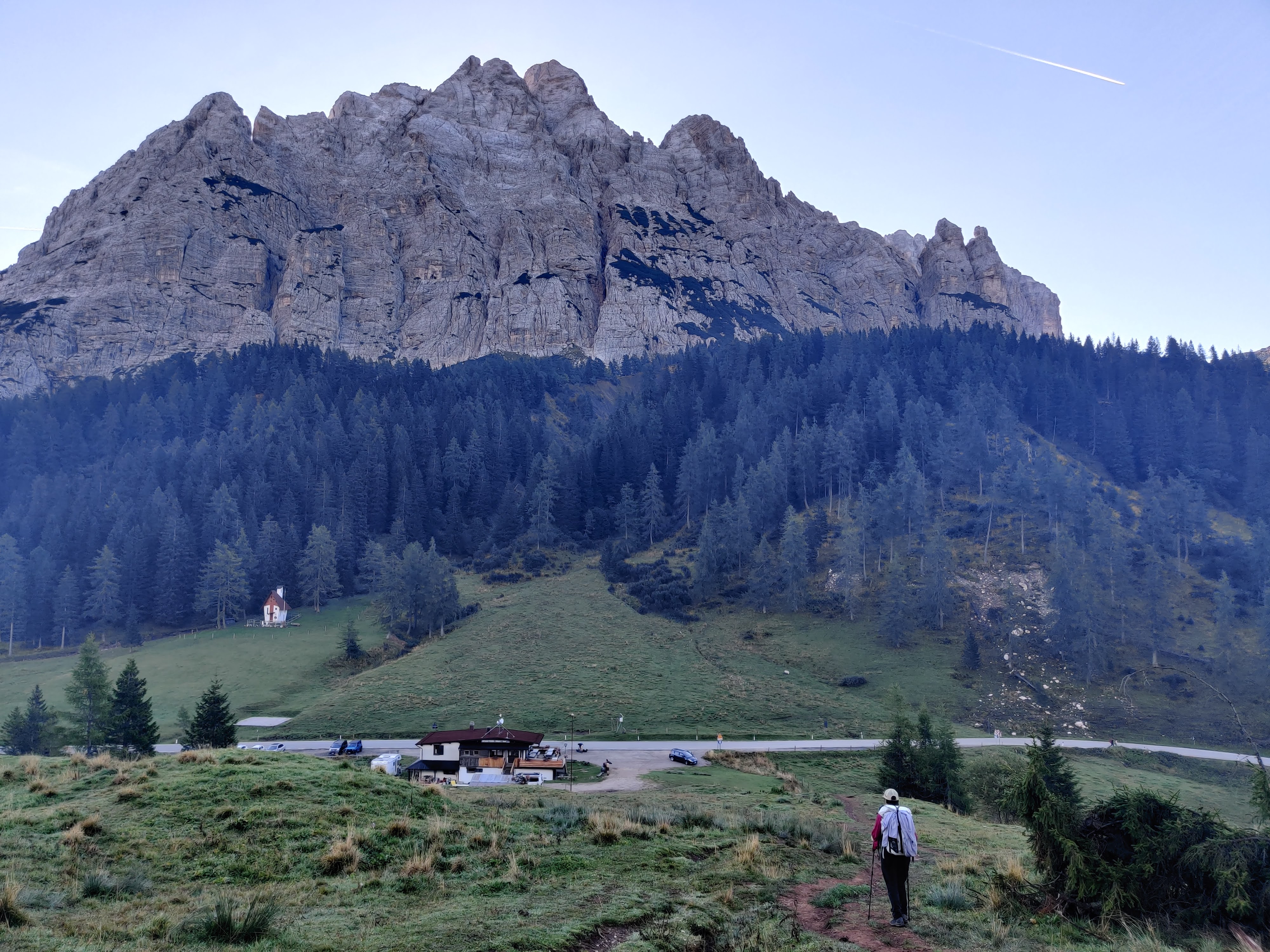
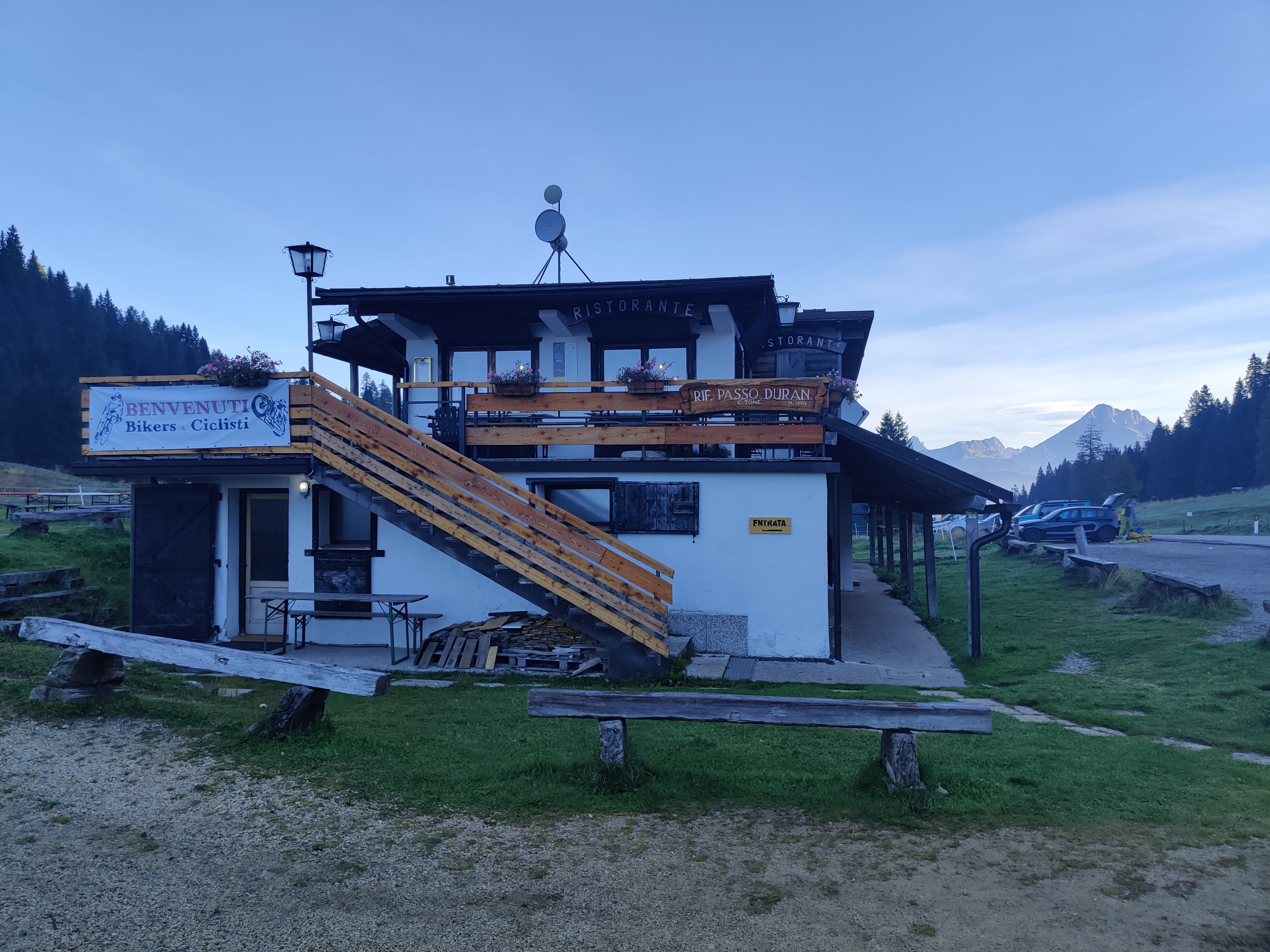
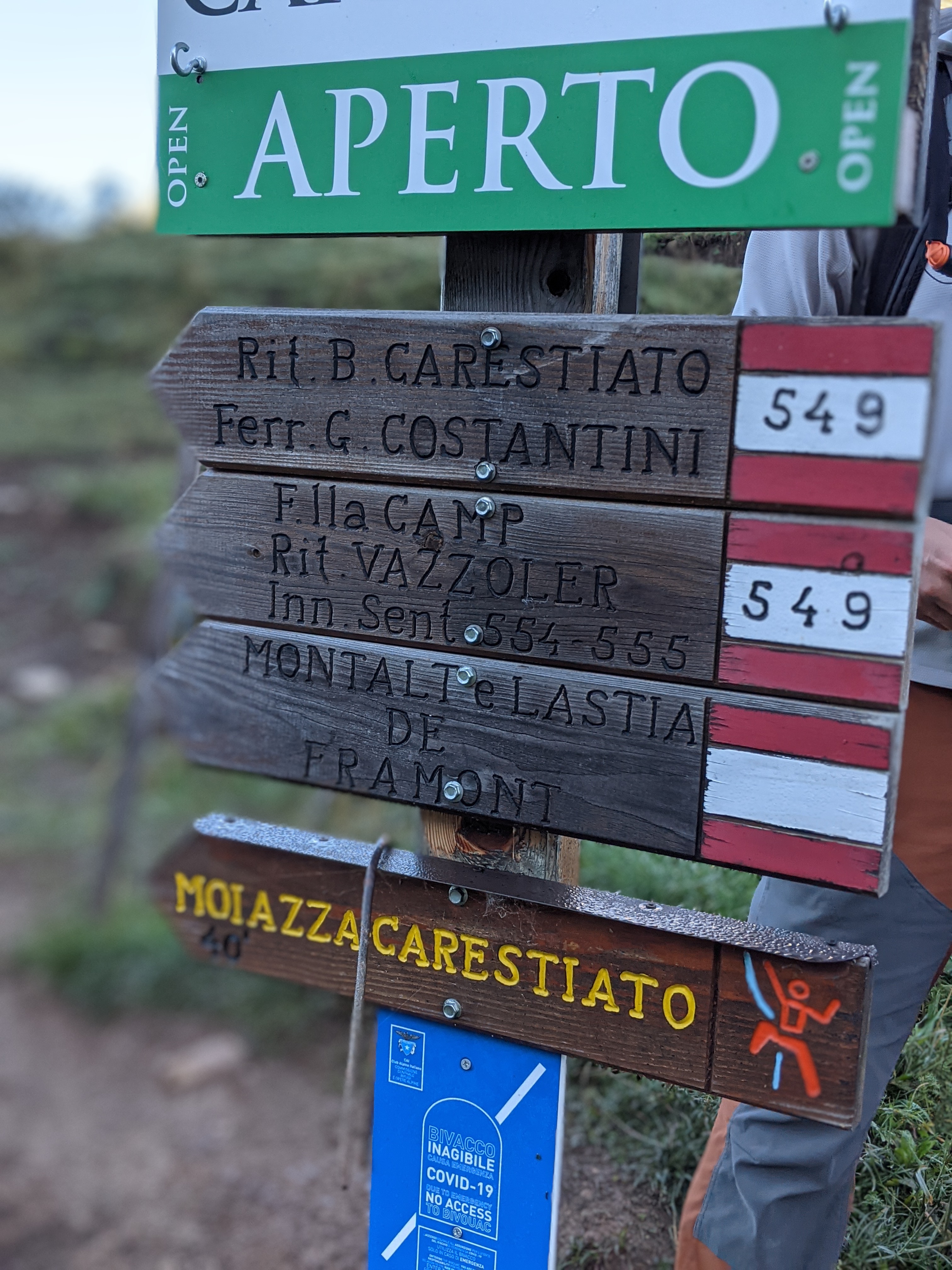
We set off to Passo Duran via trail 549. This part was well marked and mostly downhill, on a wide path through a forest. It was a little slippery throughout the trail. The forest opens up to a meadow, where there were many locals doing their cow thing. After around 45 minutes, we arrived at Rifugio Passo Duran.
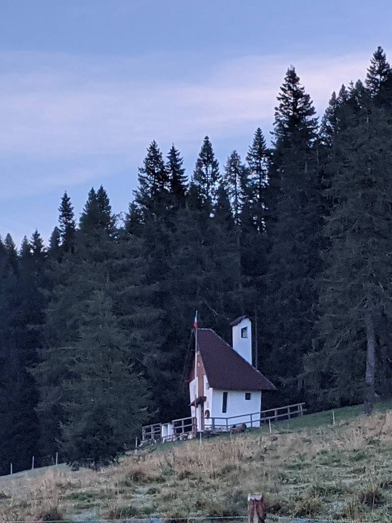
Funky house across the road from Rifugio Passo Duran.
From Passo Duran, we walked along the highway to trail 543, where there is a small parking lot. This took around 30 minutes.
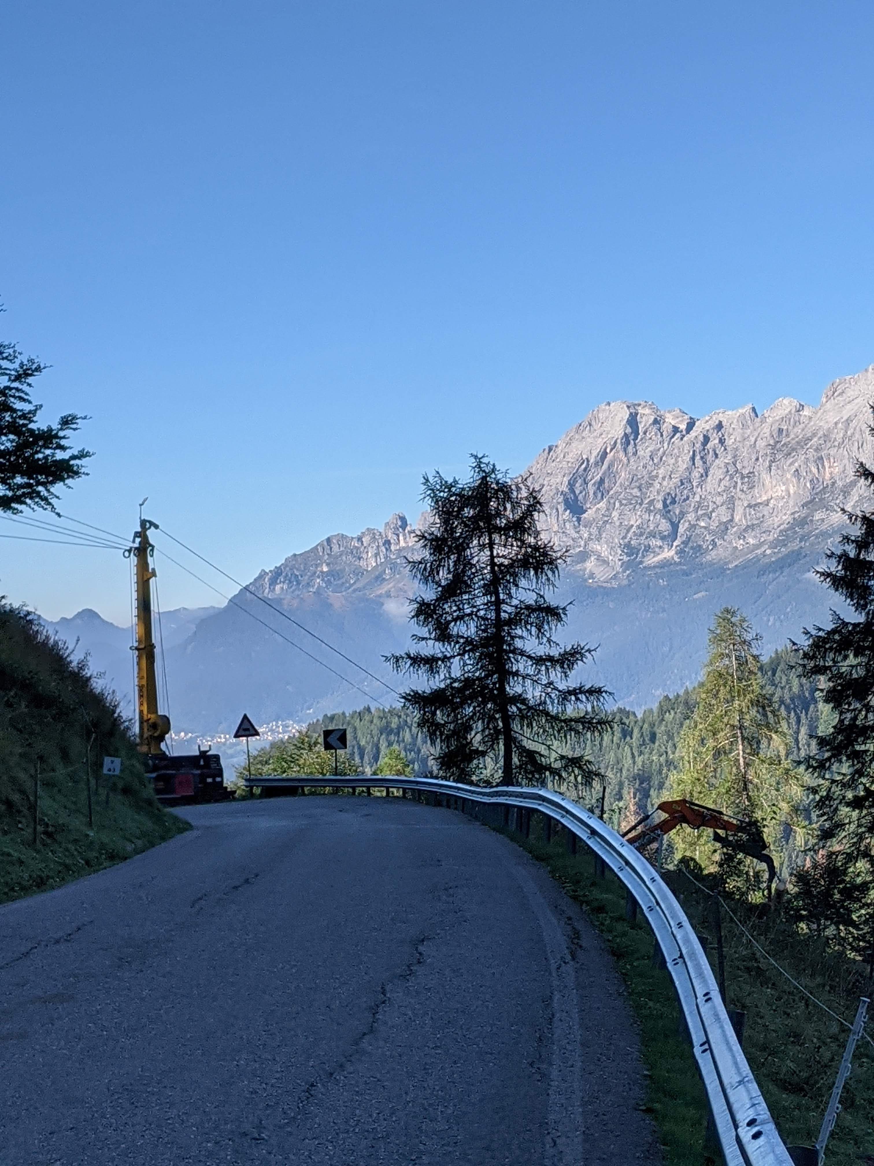
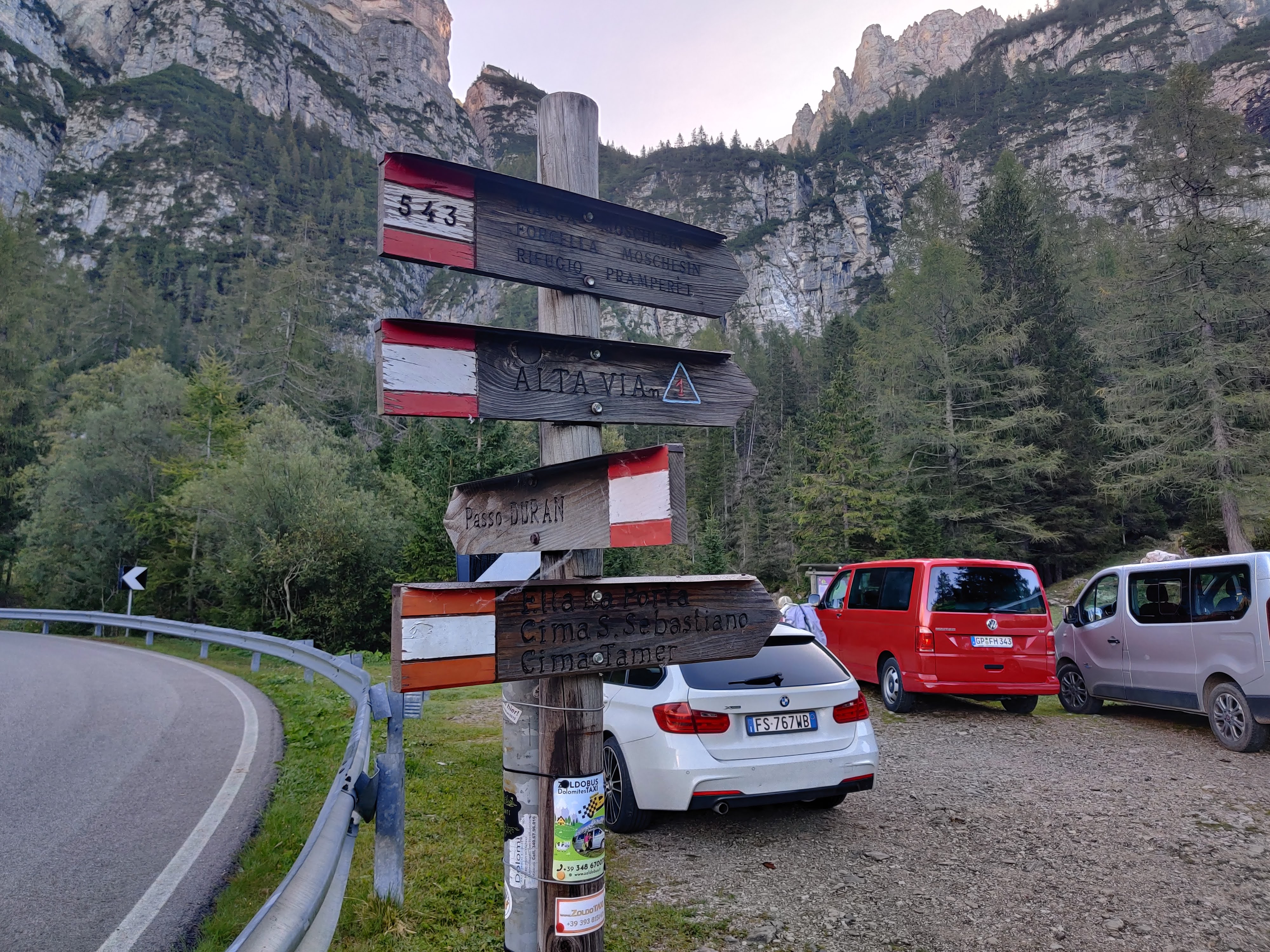
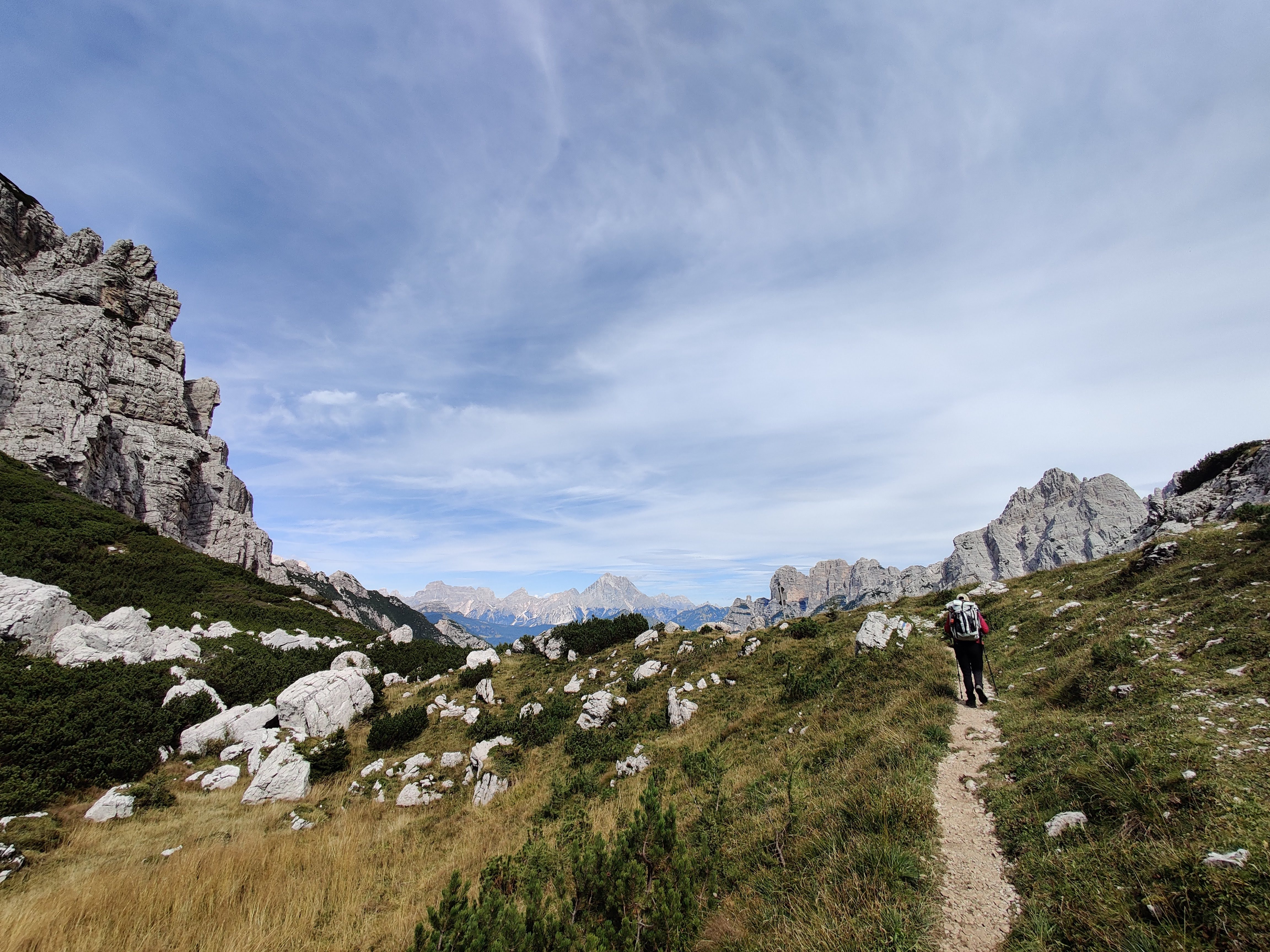
From the parking lot, Trail 543 led us through a forest on rooty dirt trails, which was a nice change from the exposed scree fields the previous days. We took a snack break where there used to be a building of some sort before continuing on. After that, we navigated rock fields.
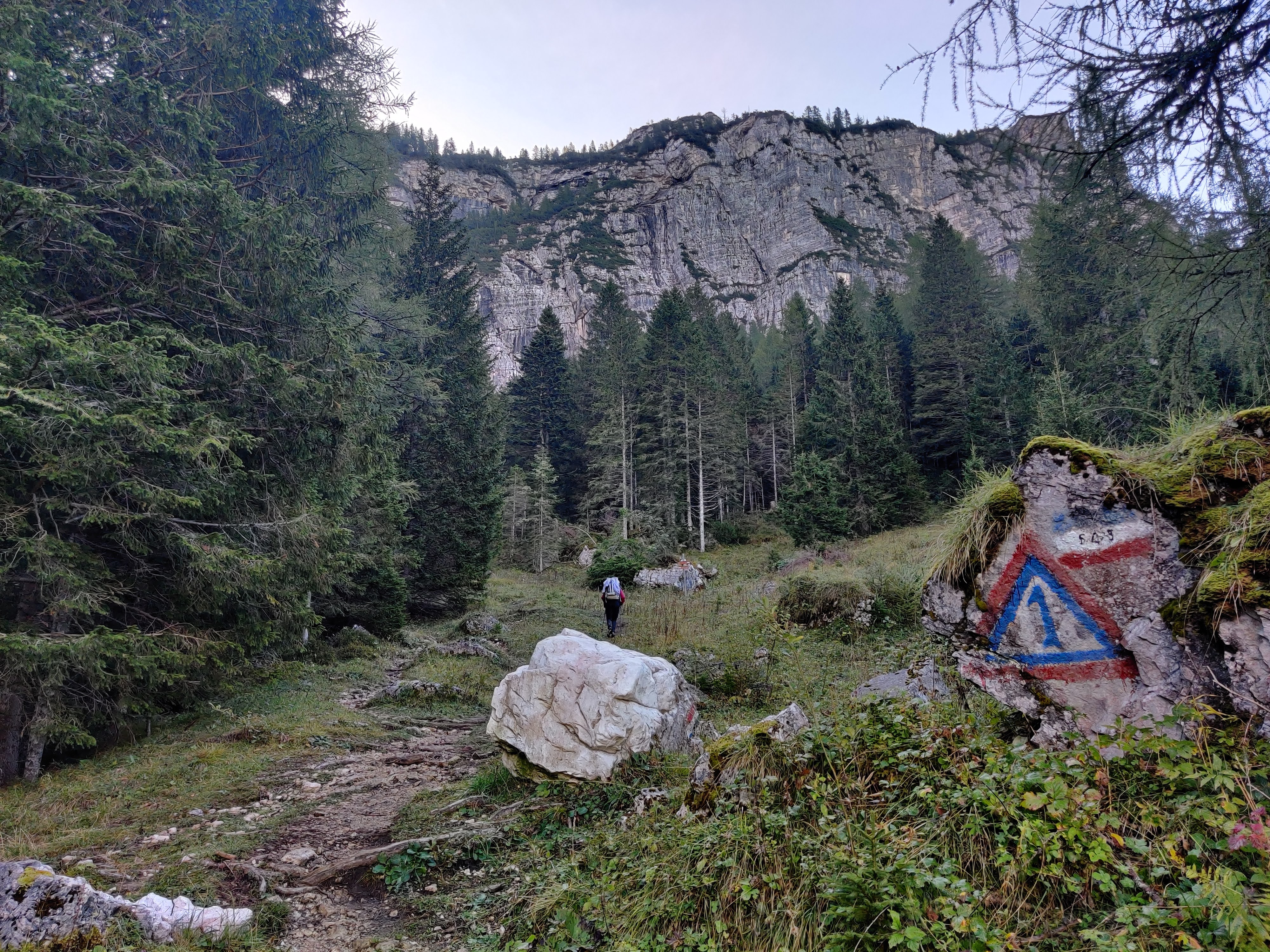
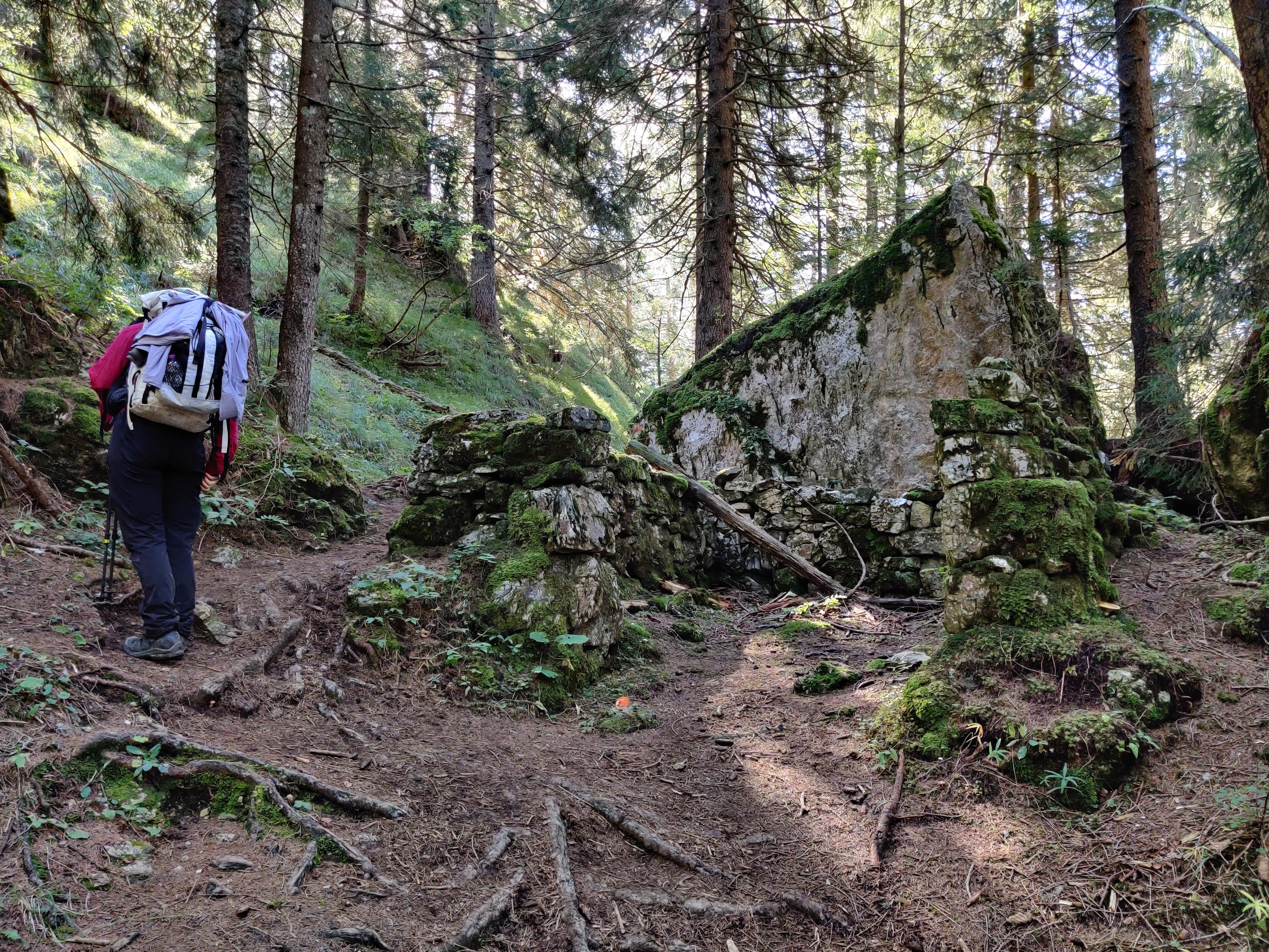
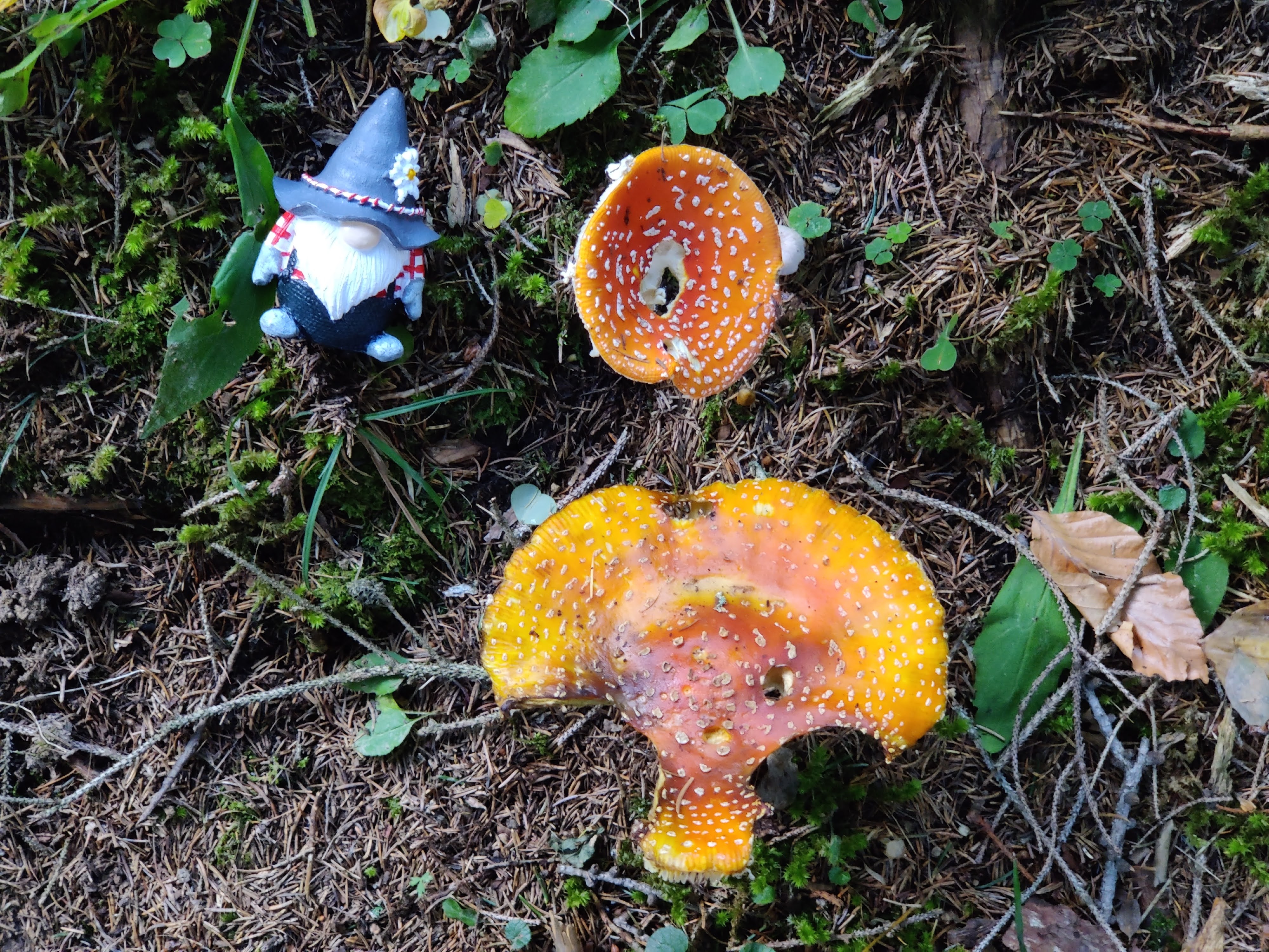
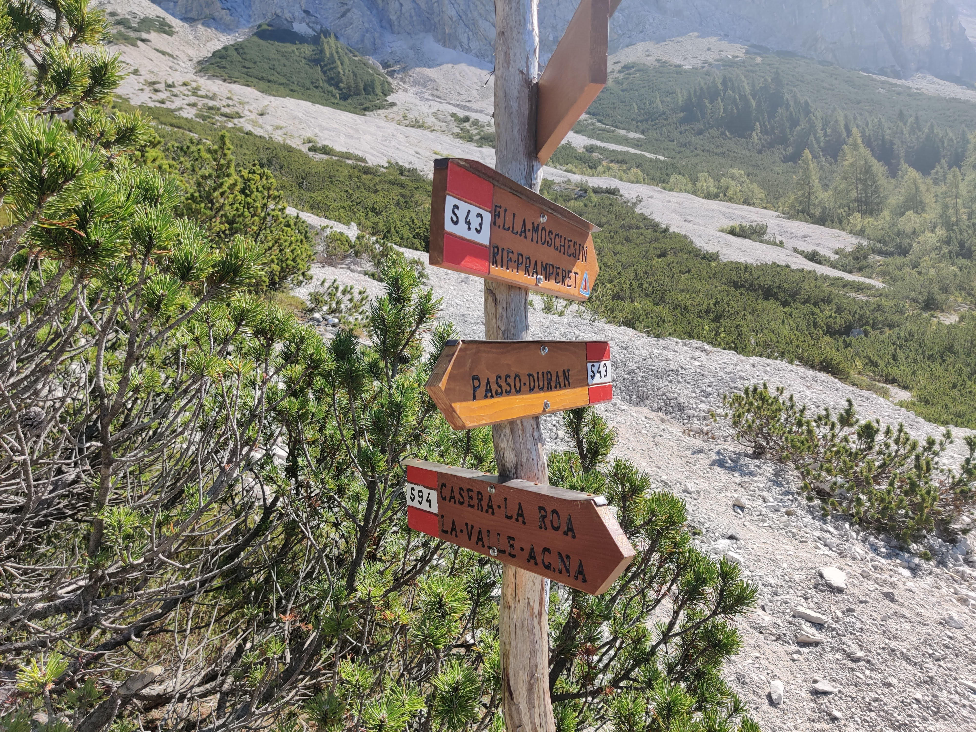
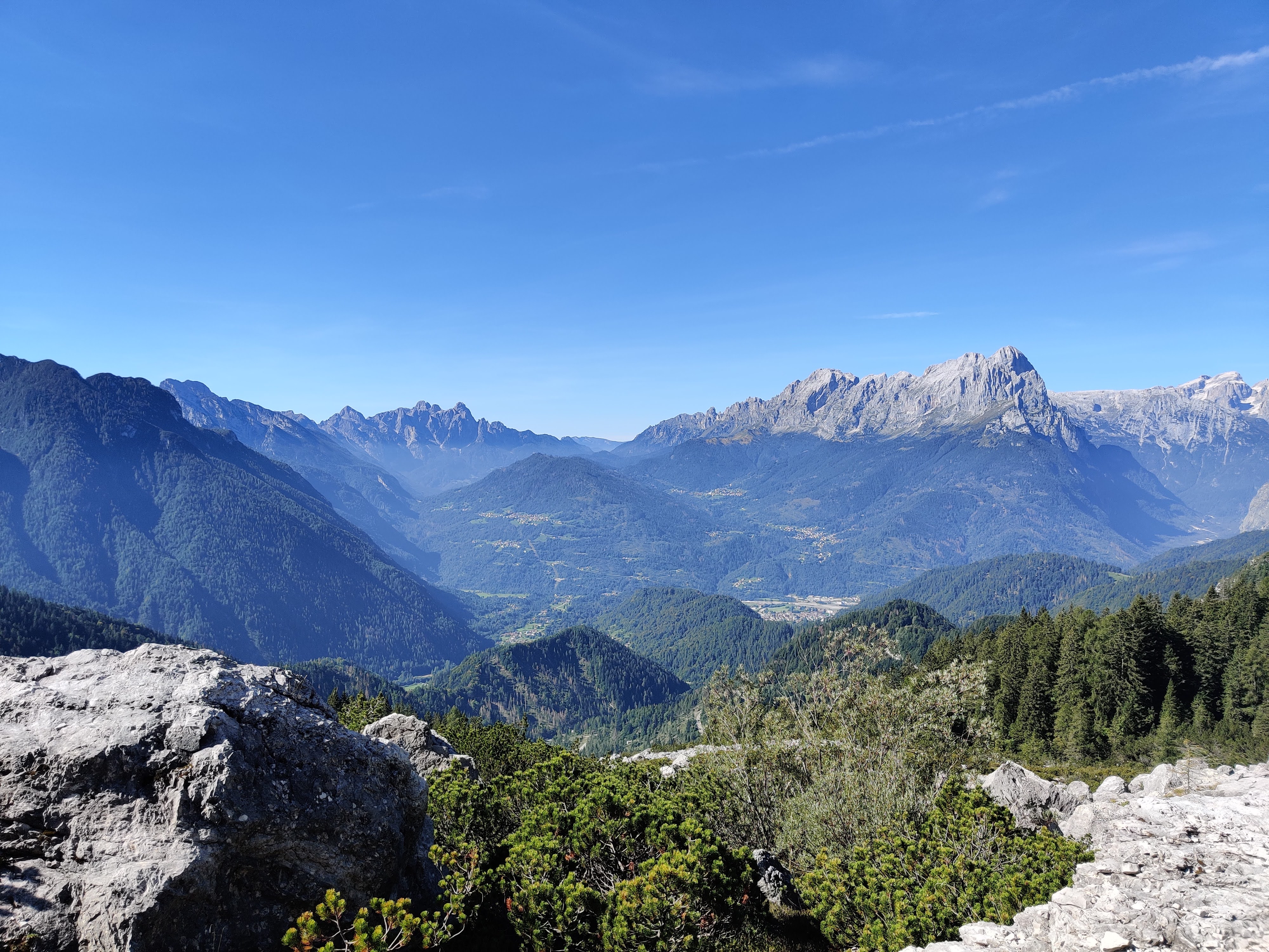
There were several instances where we thought we were at Malga Moschesin but we actually were not quite there yet.
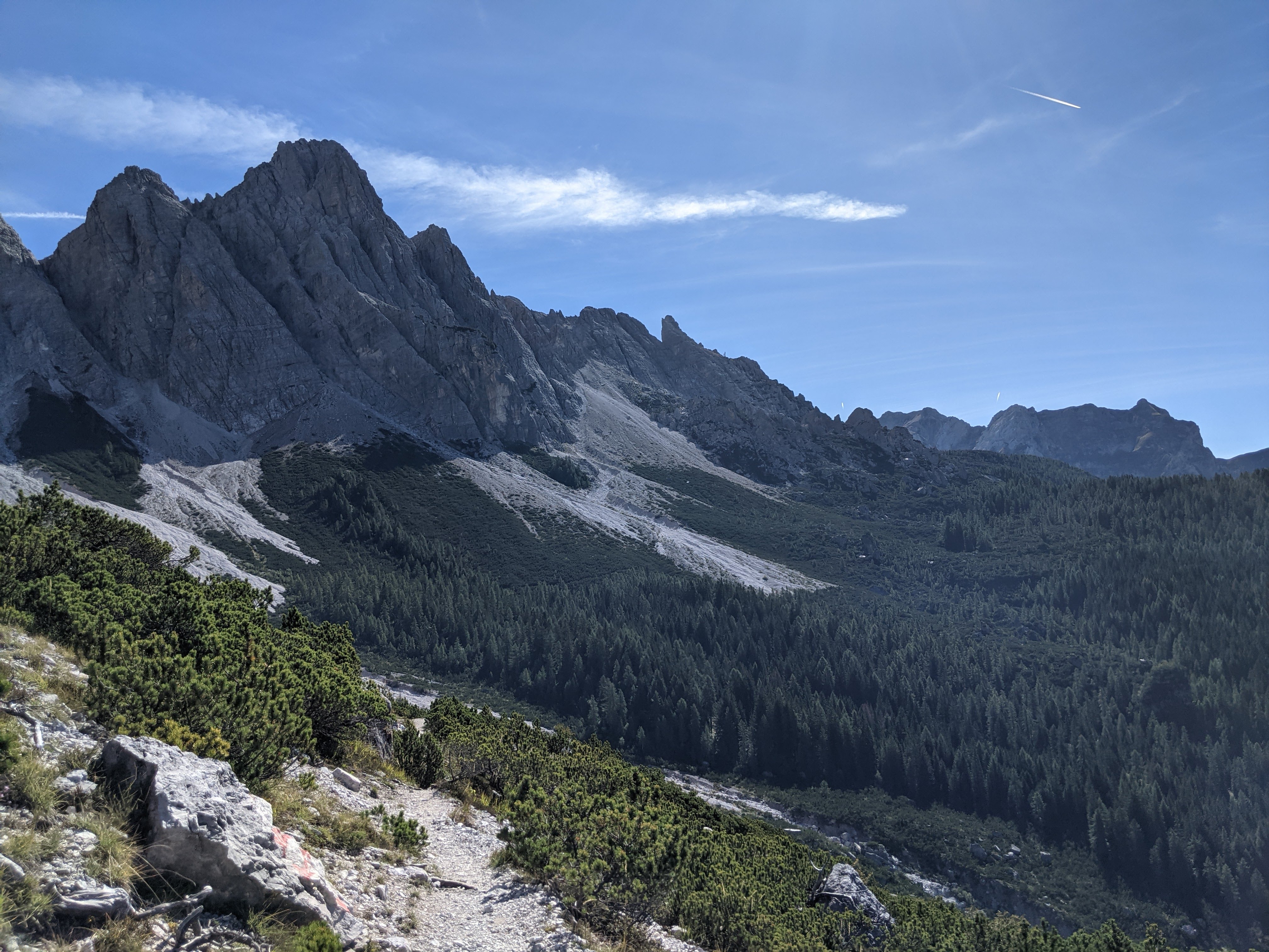
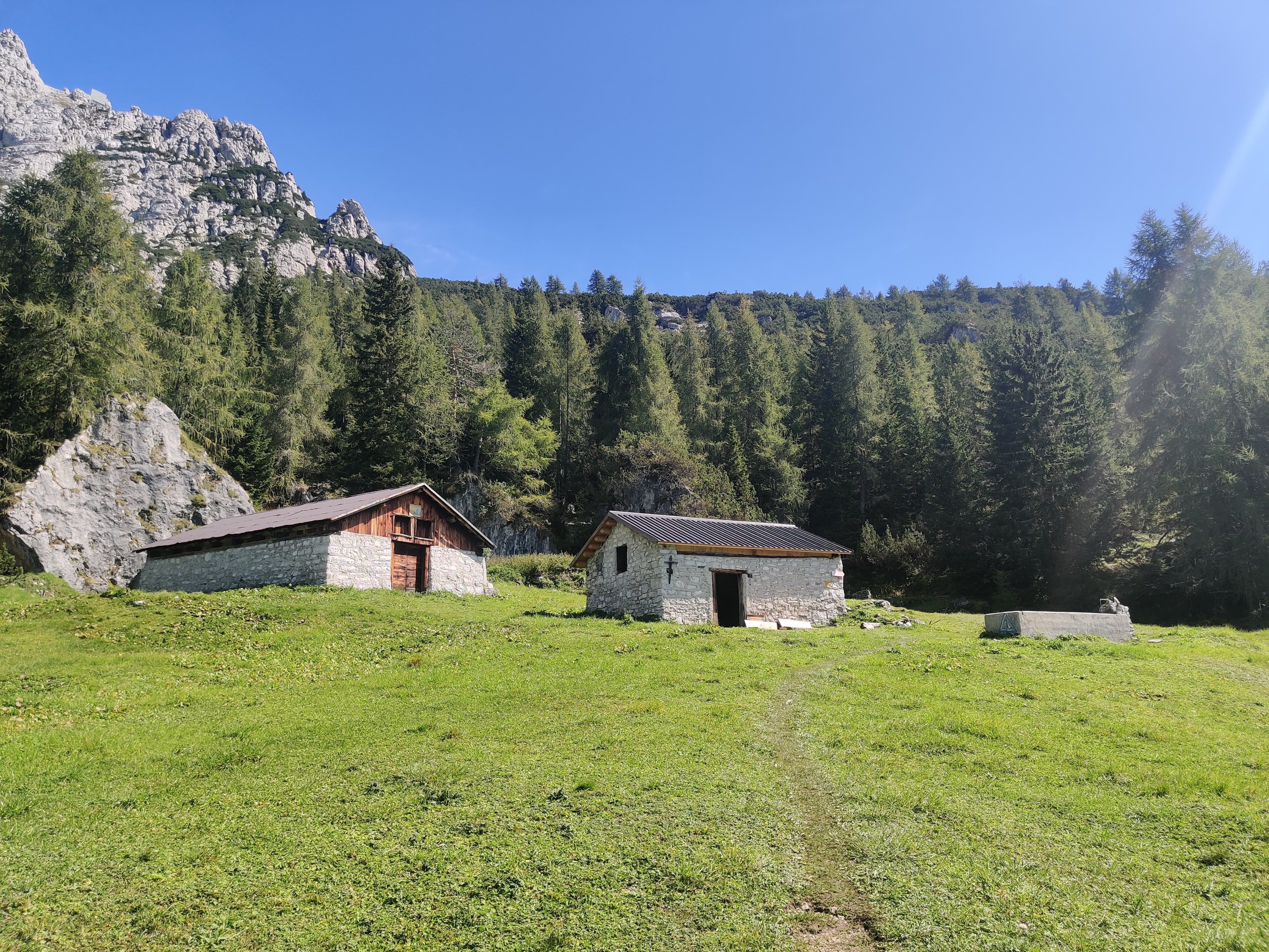
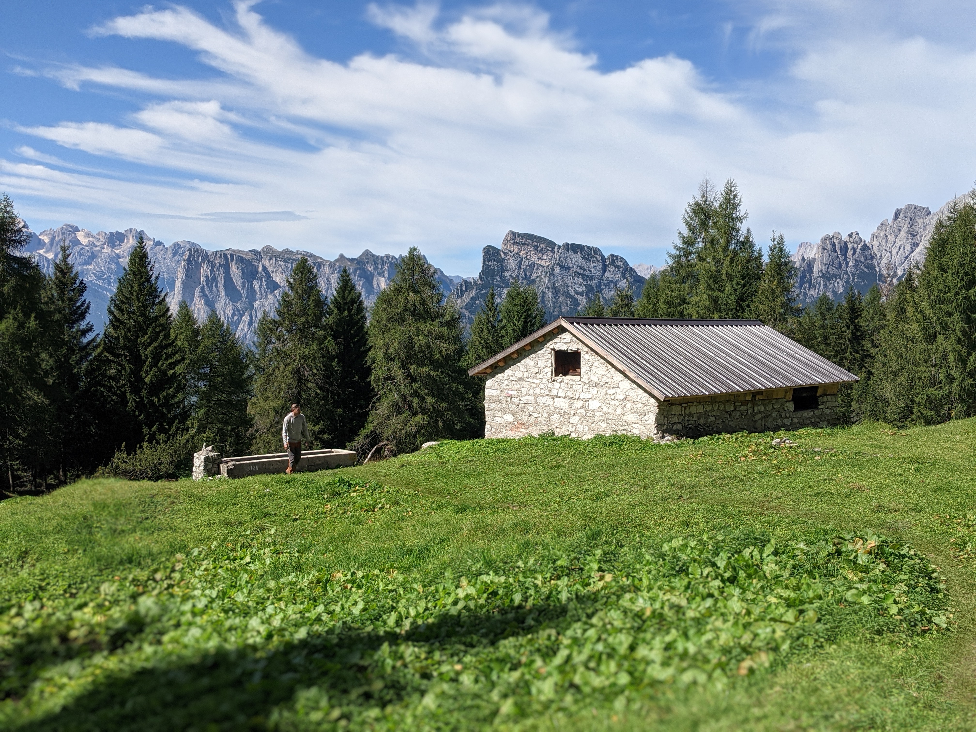
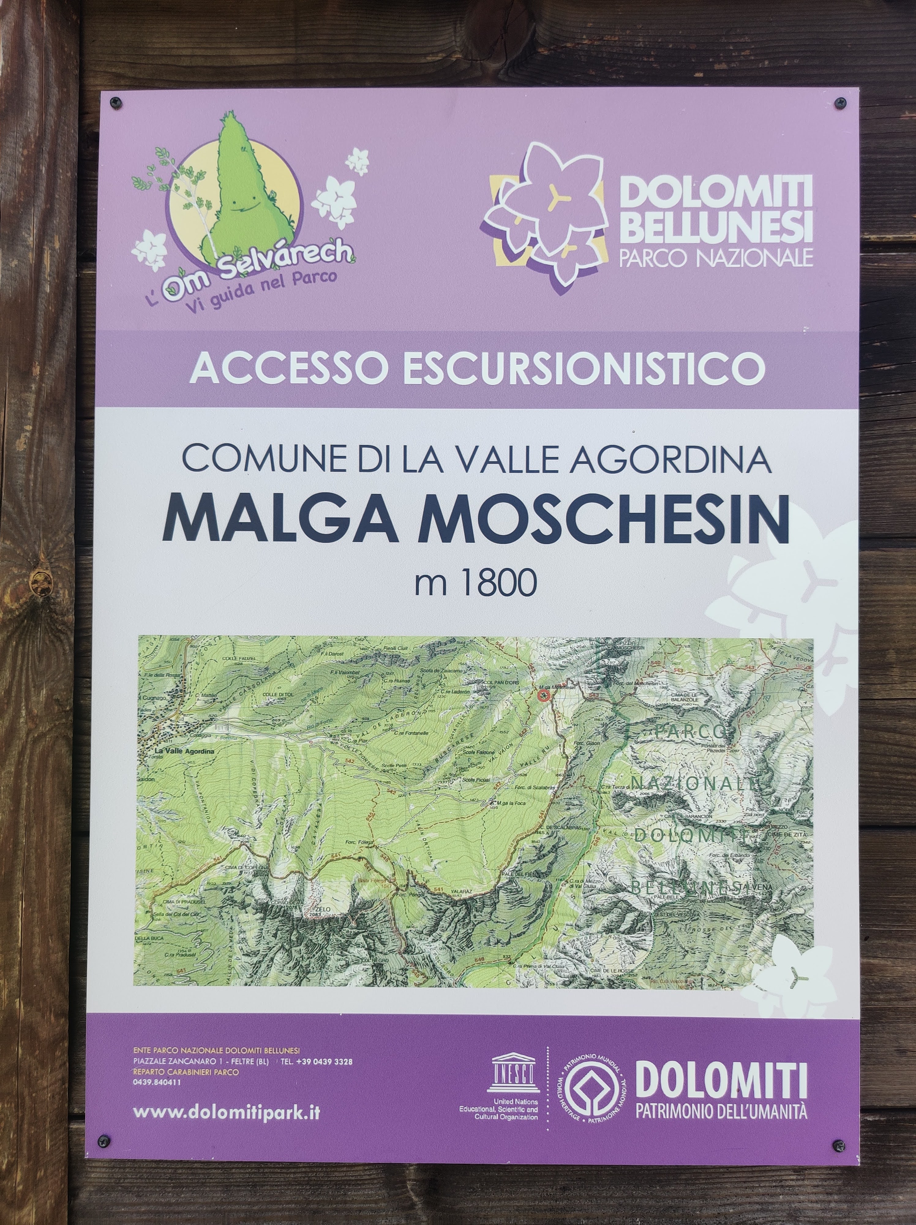
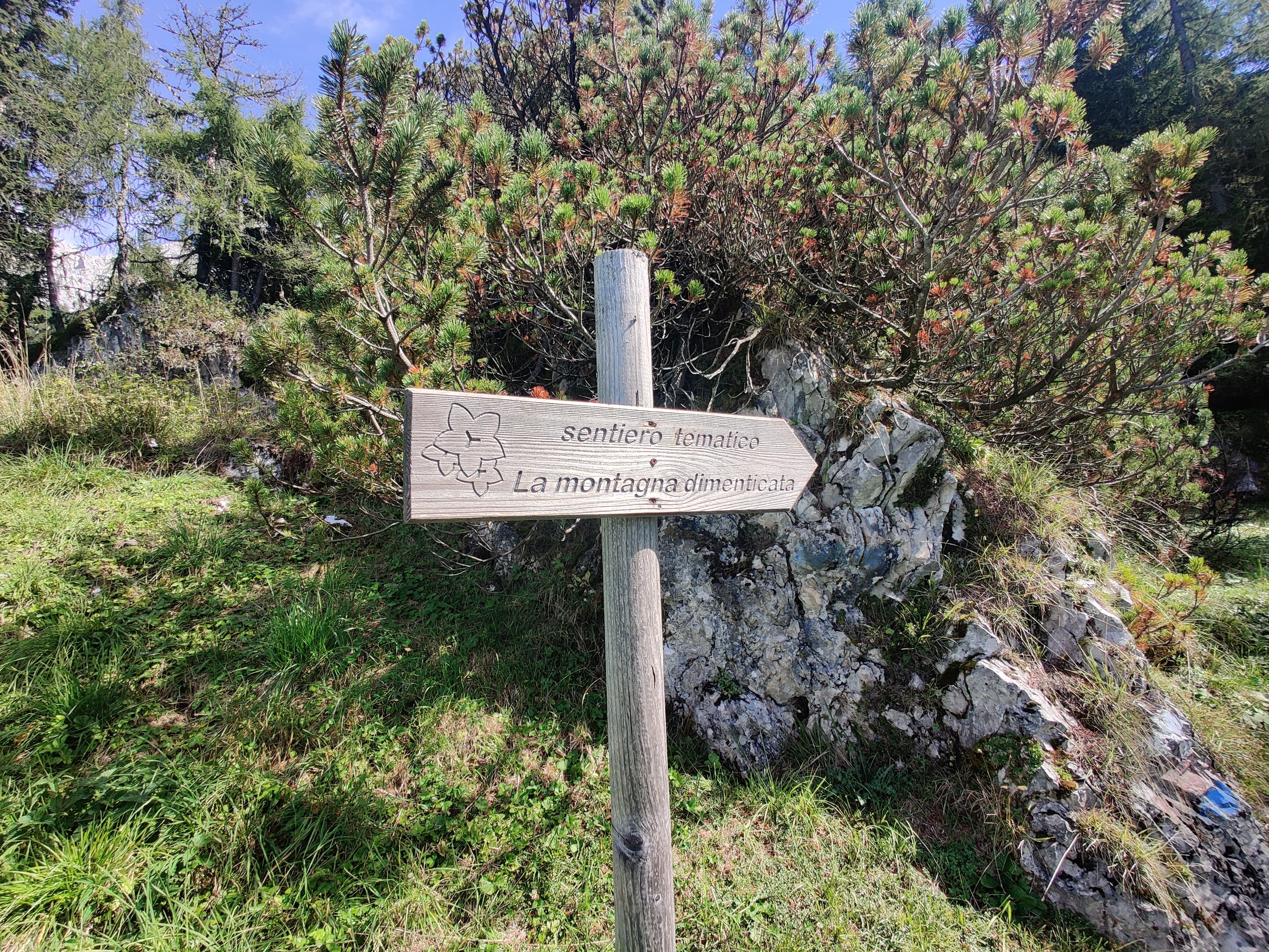
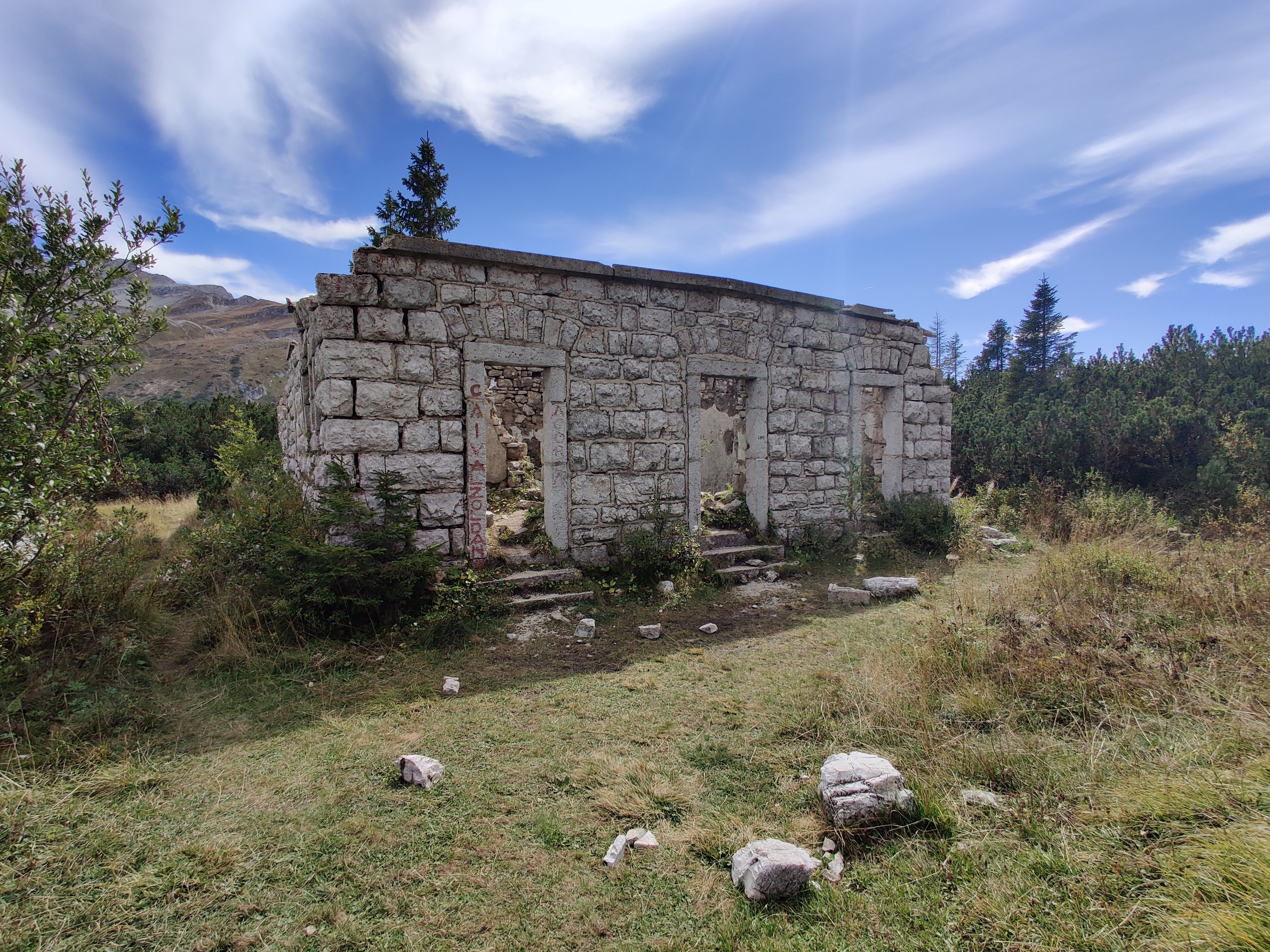
At 1800m, Malga Moschesin consisted of a few buildings and a water trough, which I would not recommend be used as a water source, as the water in the trough had algae growing. It took us 2.5 hours to get to Malga Moschesin. We took a snack break before continuing on, following the signs for Sentiero la Montagna Dimenticata. This trail, trail 541, and the trail we needed to be on, 543, came together at this point and diverged a little further up. We veered left at the fork on the trail.
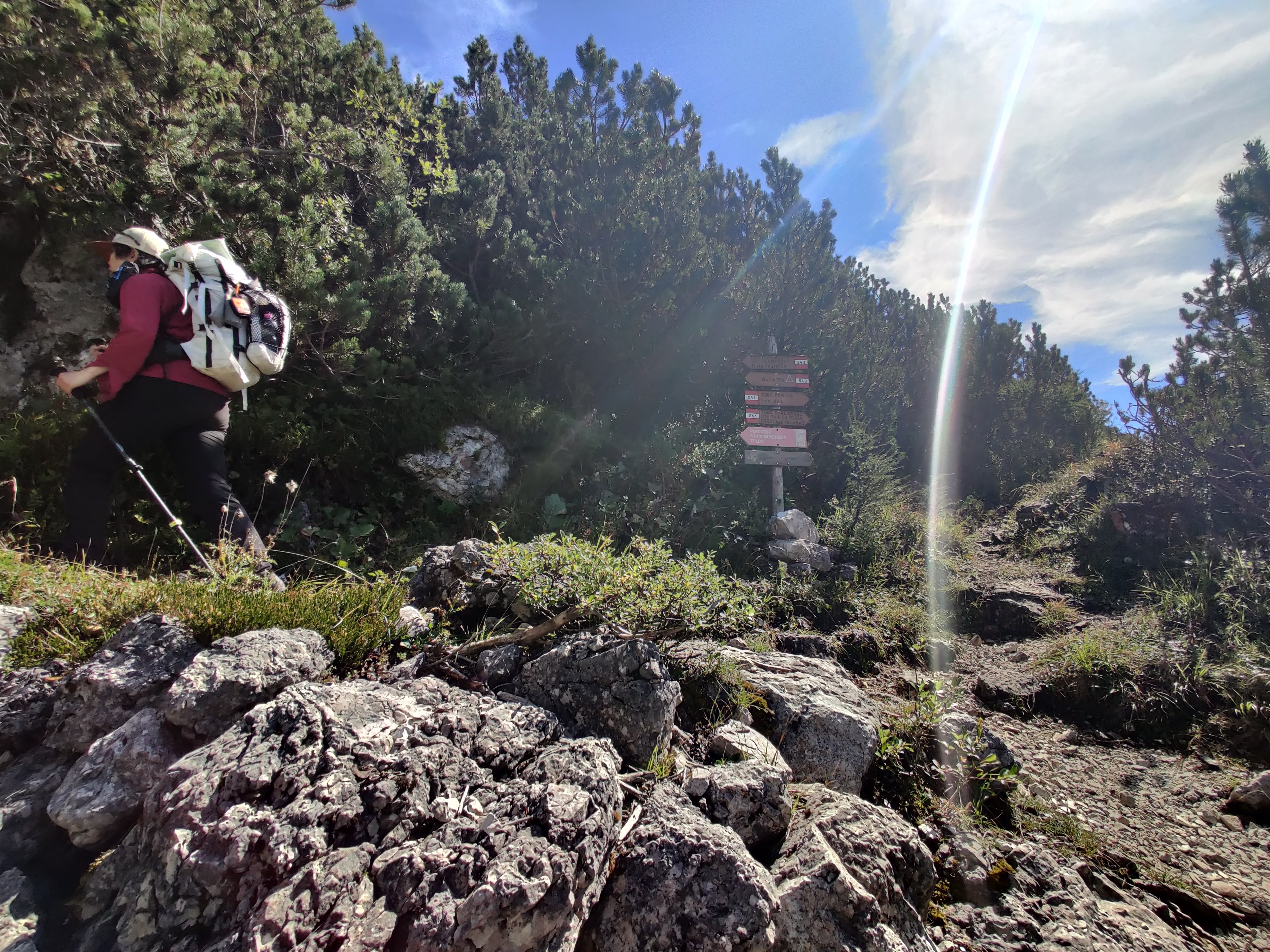
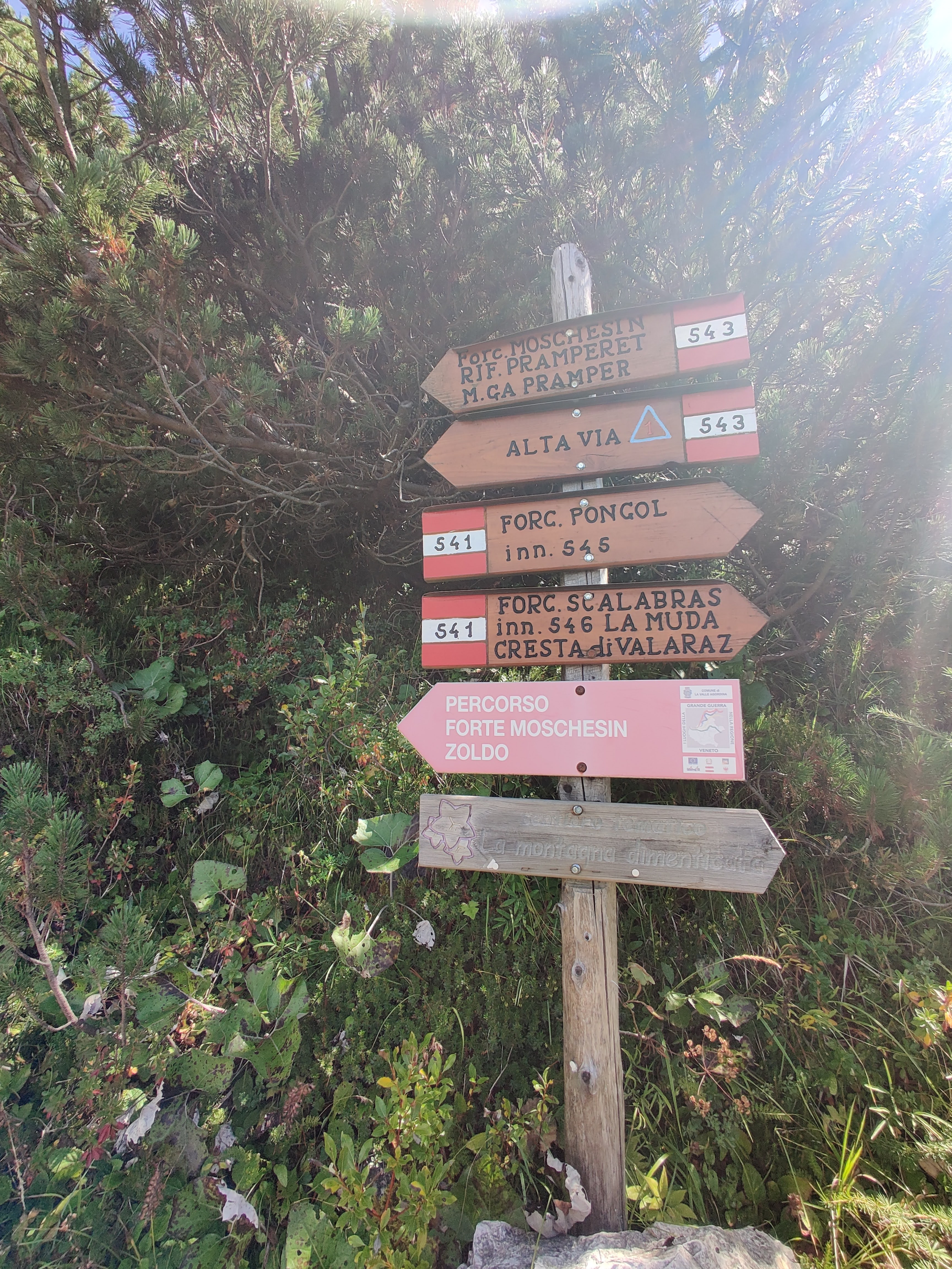
This was the last elevation gain of our trip – I’m not going to lie it was mentally the toughest part, even though it was only 162m up to Forcella Moschesin at 1897m. It took us around 50 minutes but it was the longest 50 minutes of this trip.
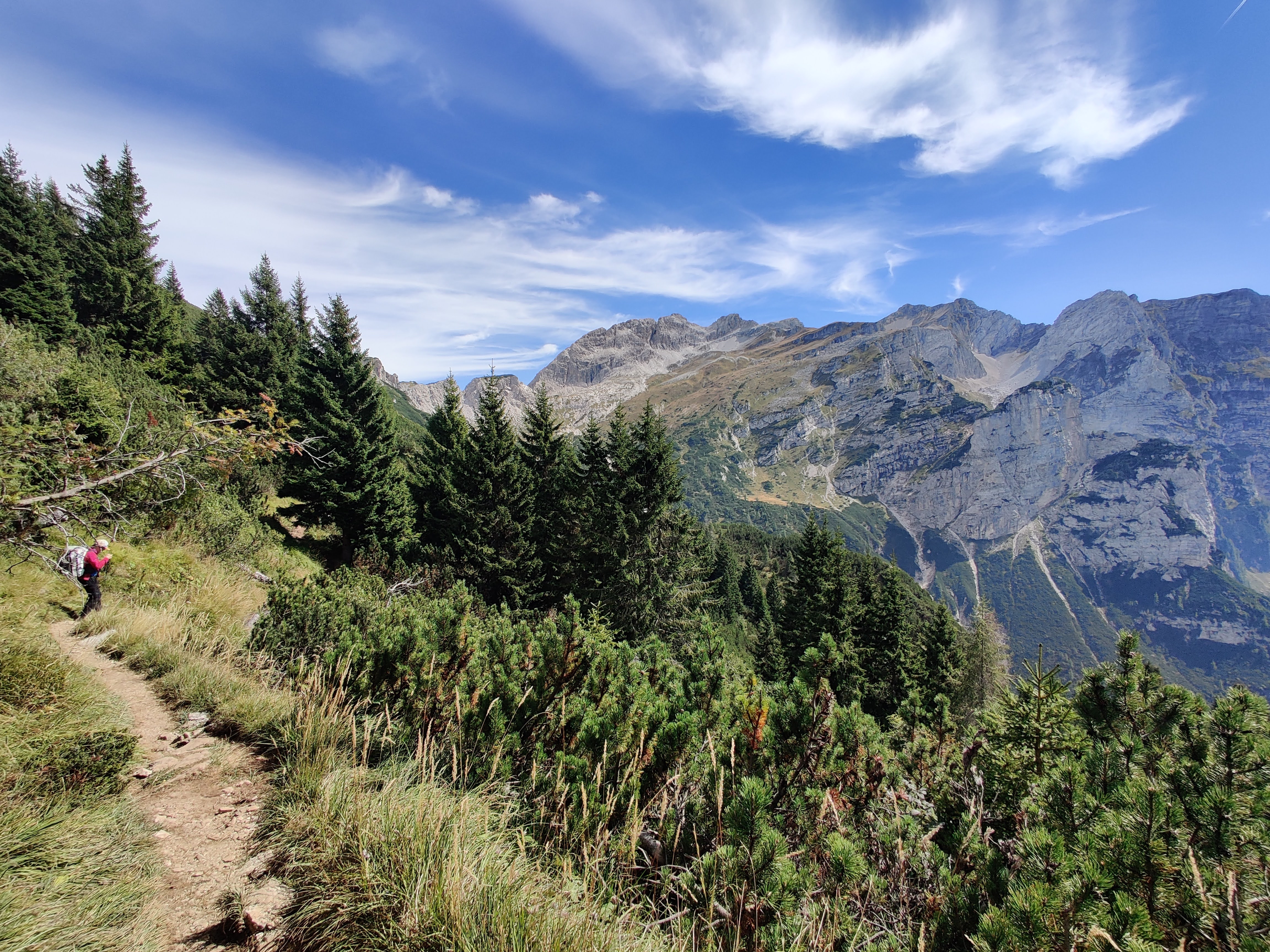
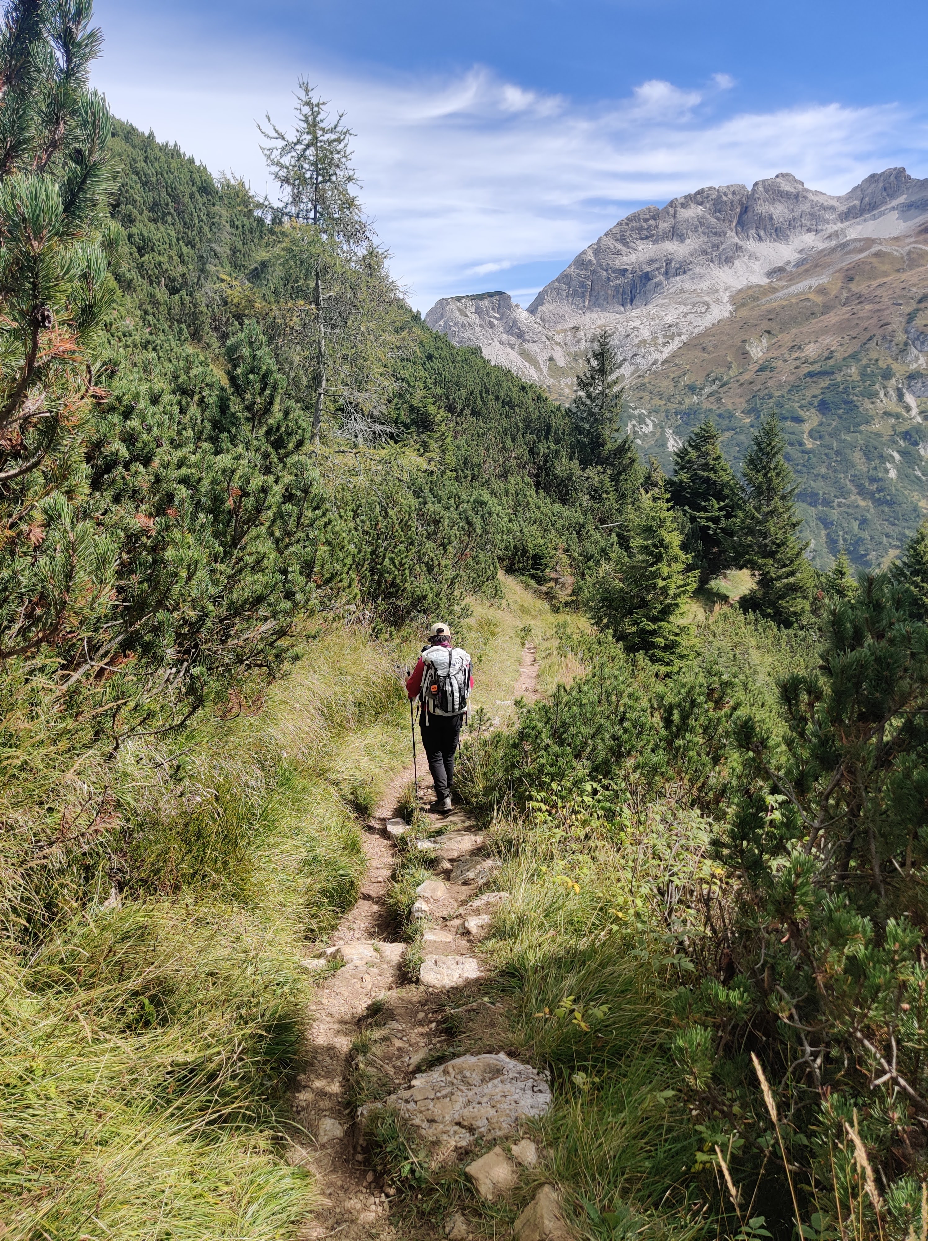
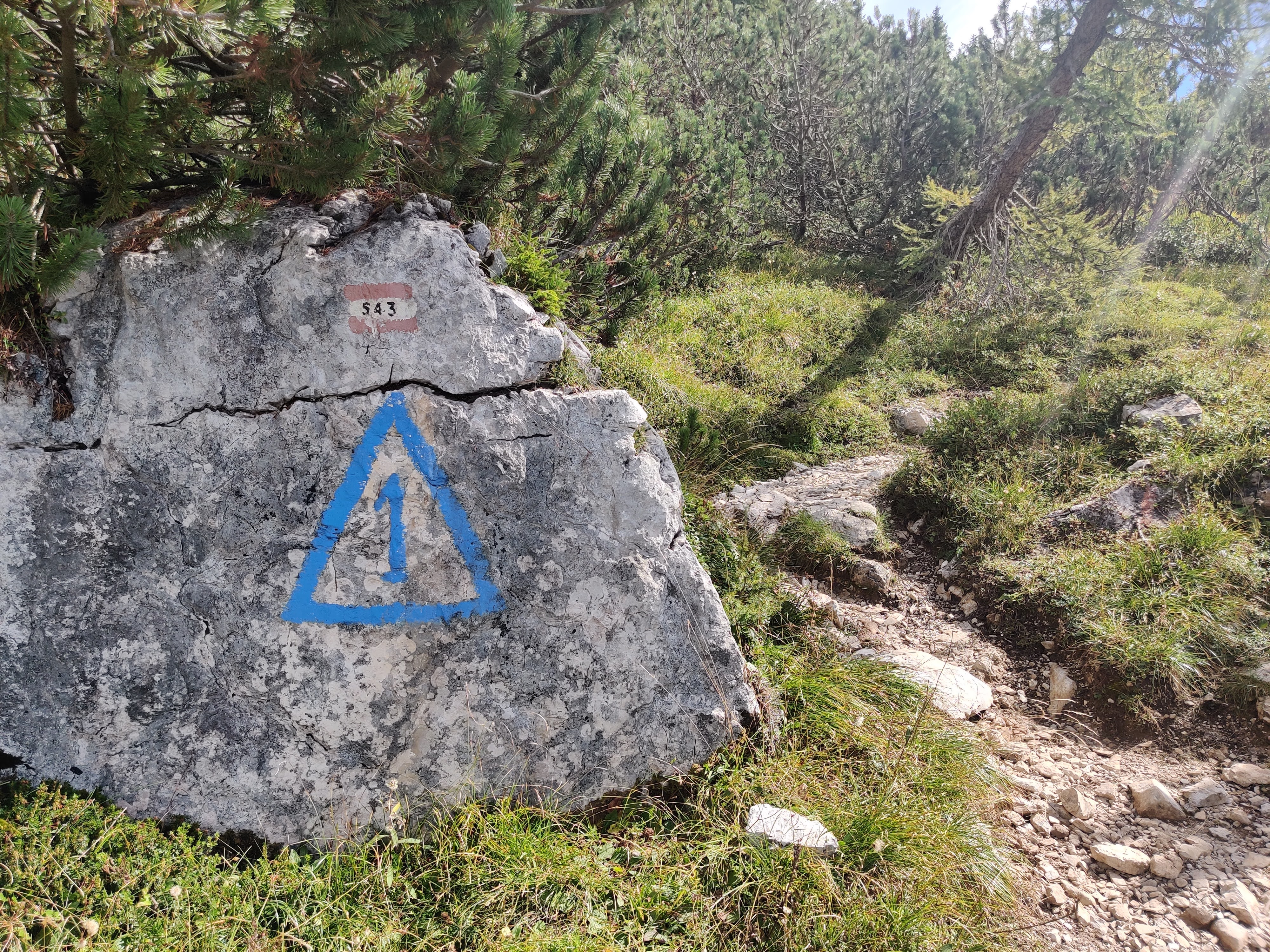
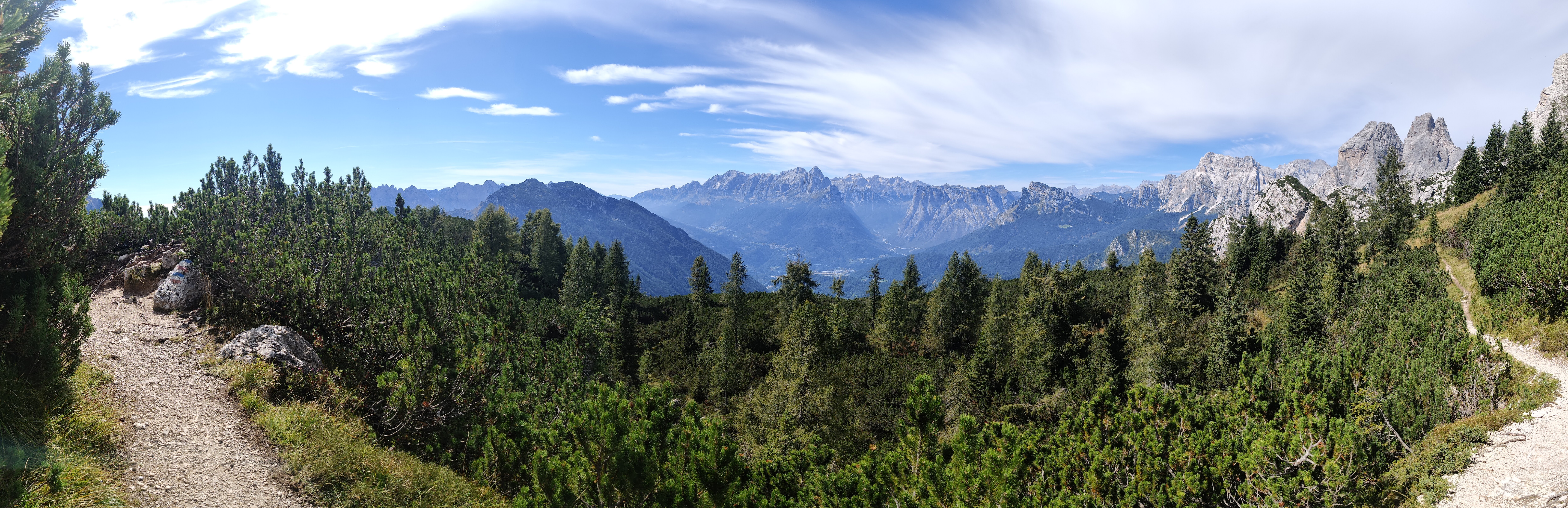
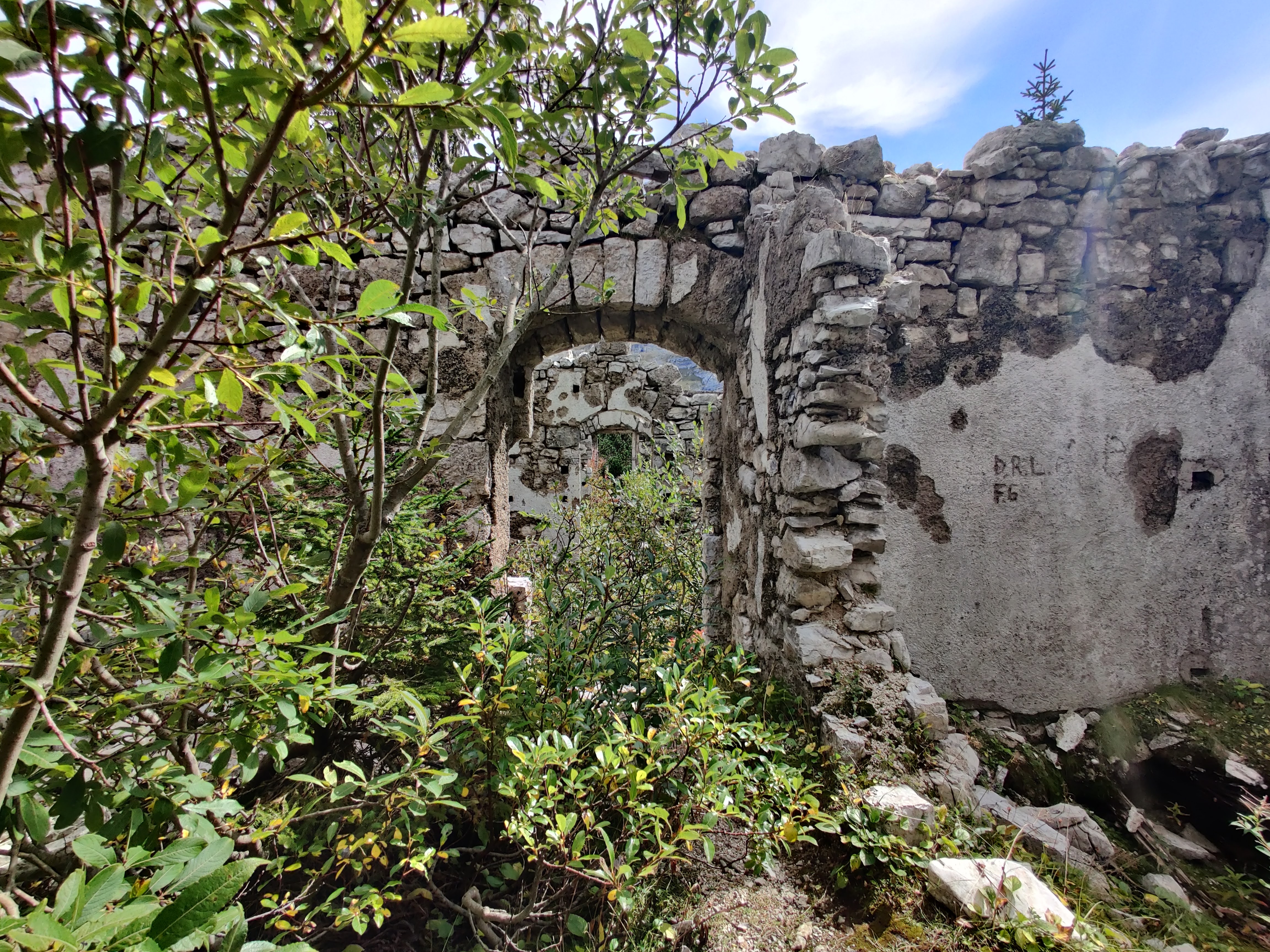
We finally reached Fort Moschesin, which was just a bit before the forcella and just a bit after the purple sign. There were parts of the old fort that was a nice surprise.
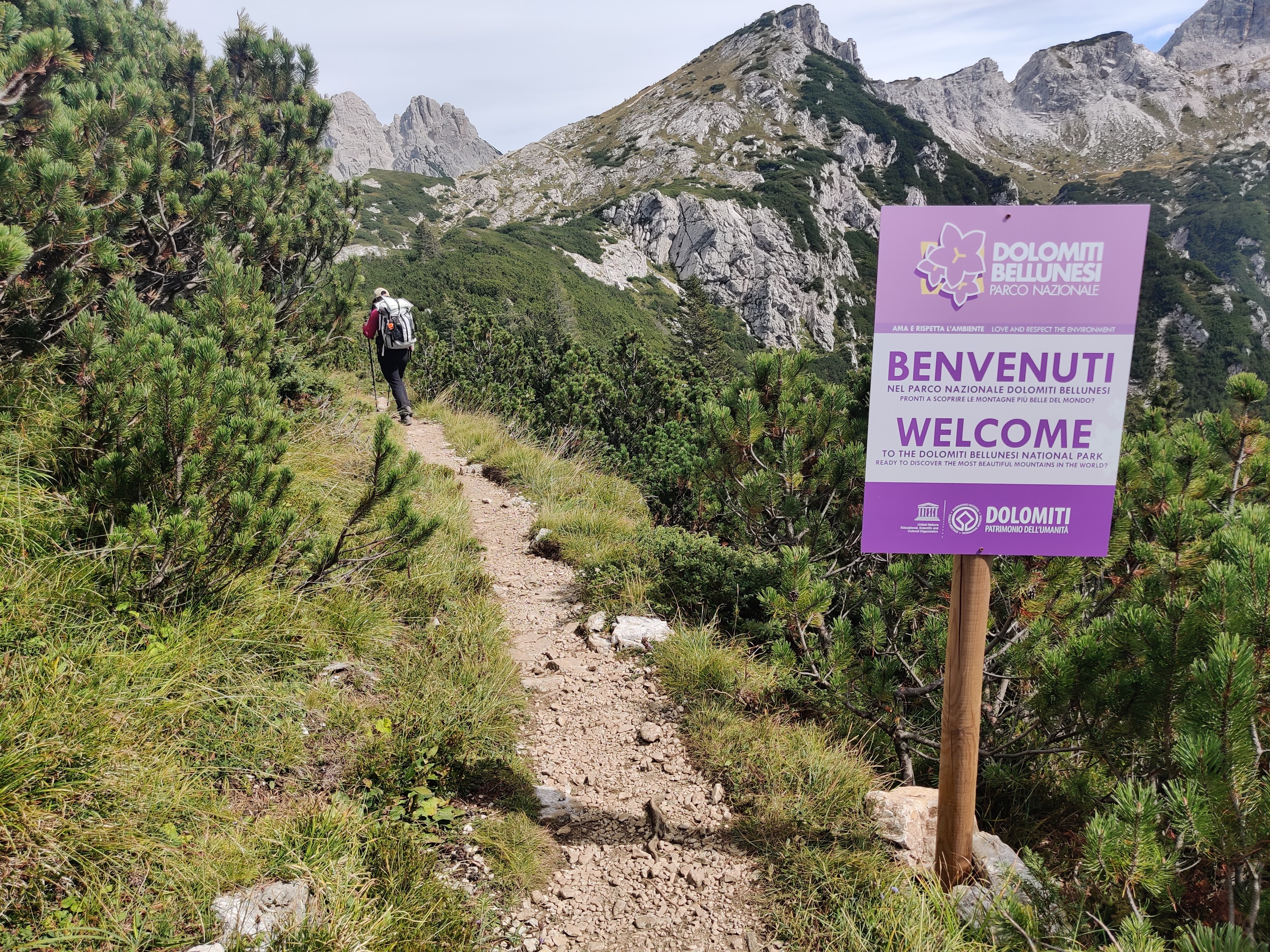
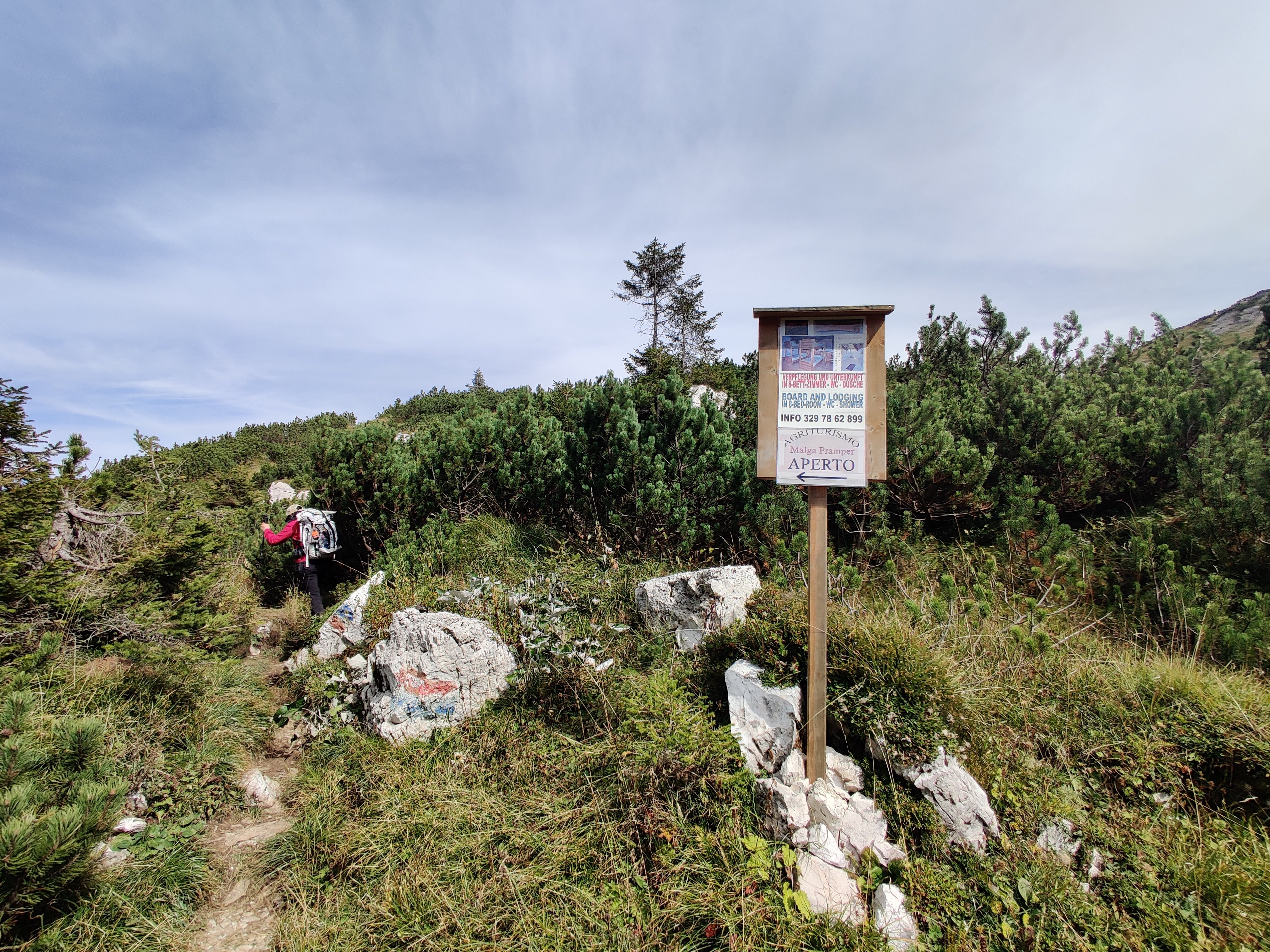
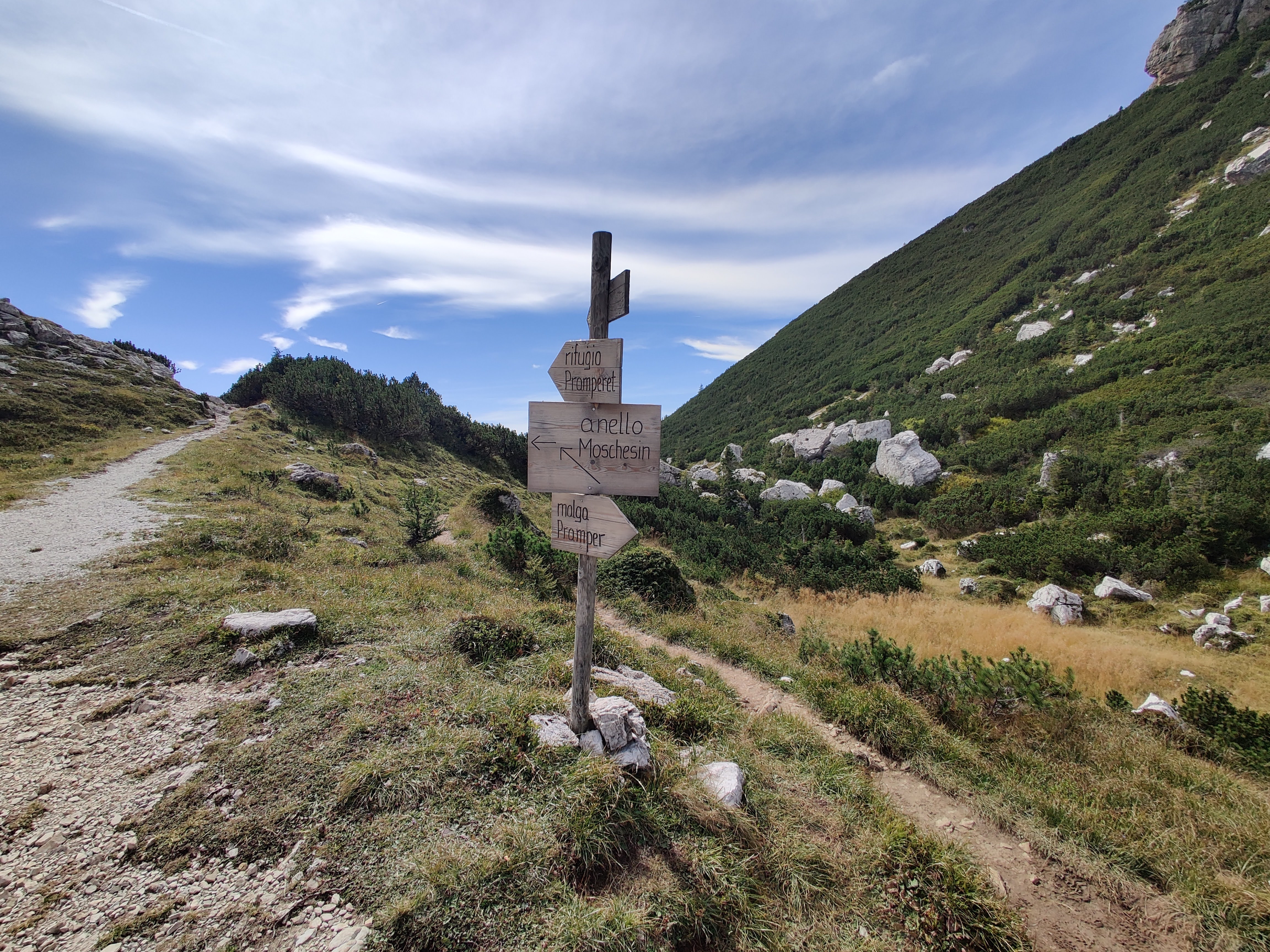
We followed trail 540 towards Malga Pramper (trail 543 goes elsewhere)
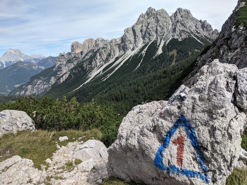
The start of the downhill segment to Malga Pramper!
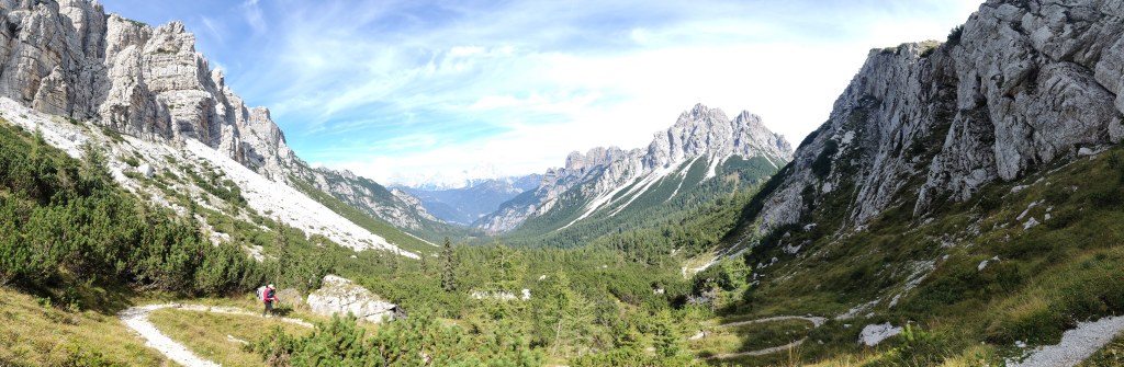
And then it was a series of switchbacks, first through shrubs, then forest. This part took us around an hour of slow easy walking. The path higher up was quite eroded, so we walked carefully, so as to not be injured on the last leg of the trek.
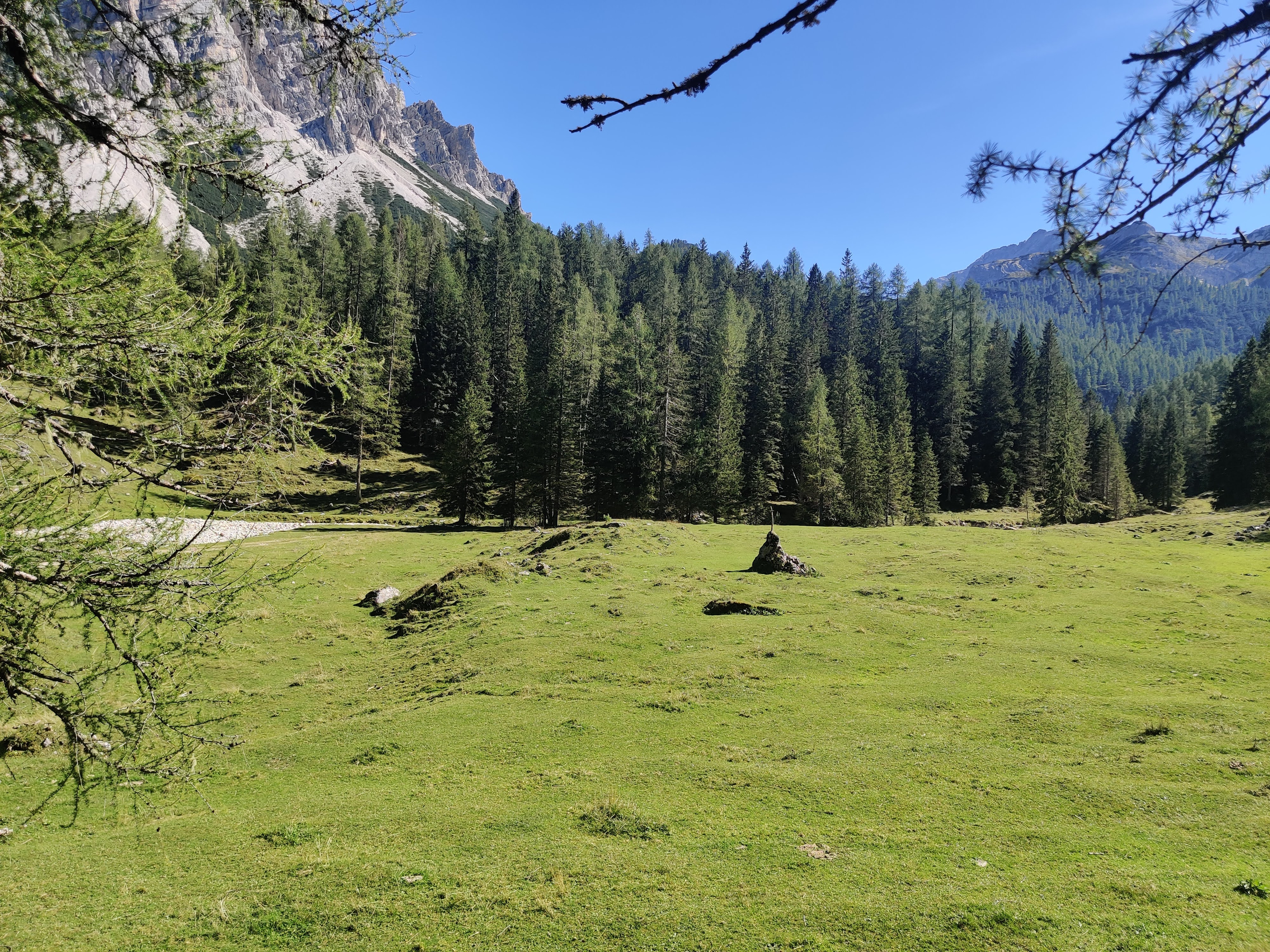
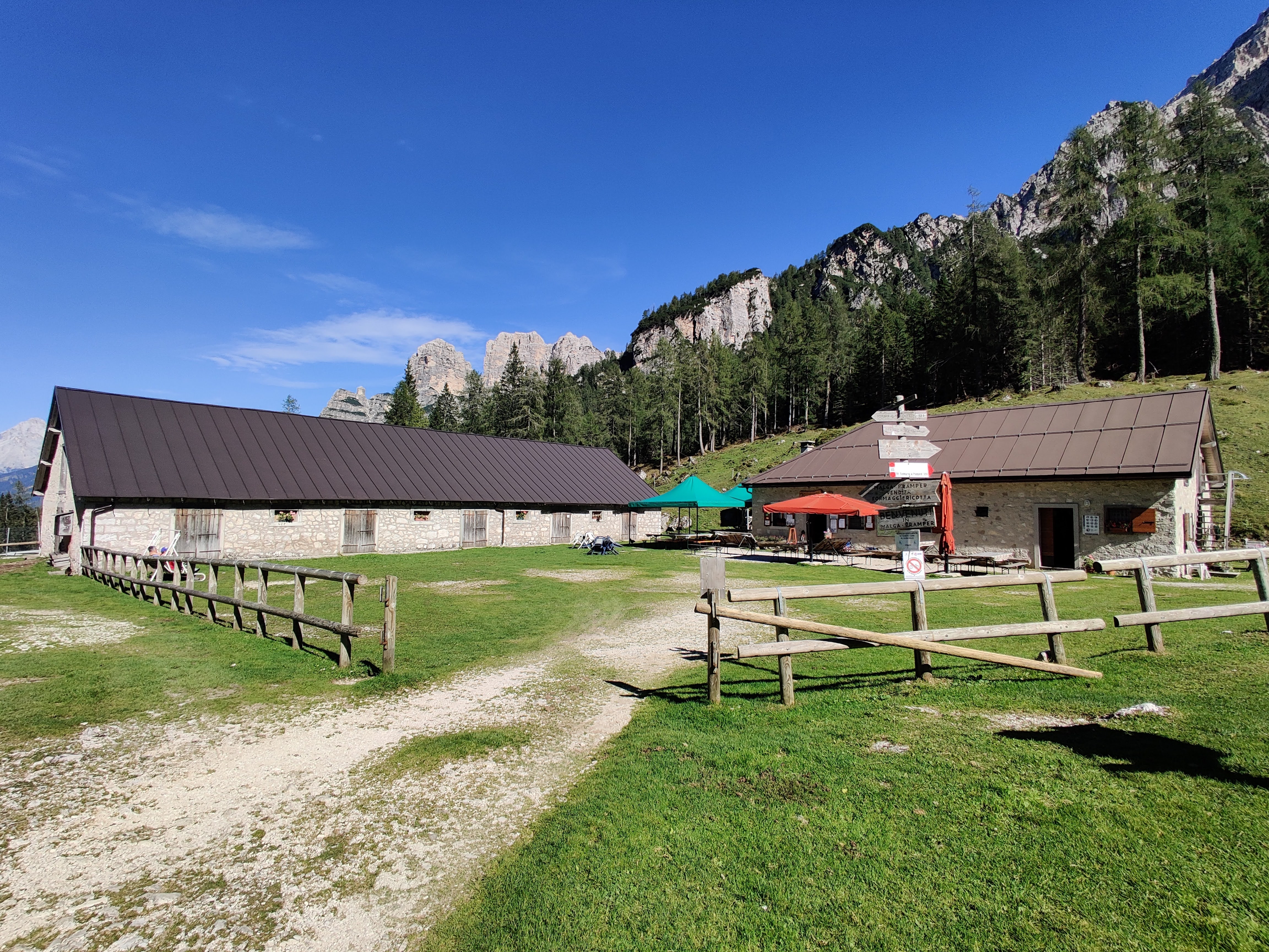
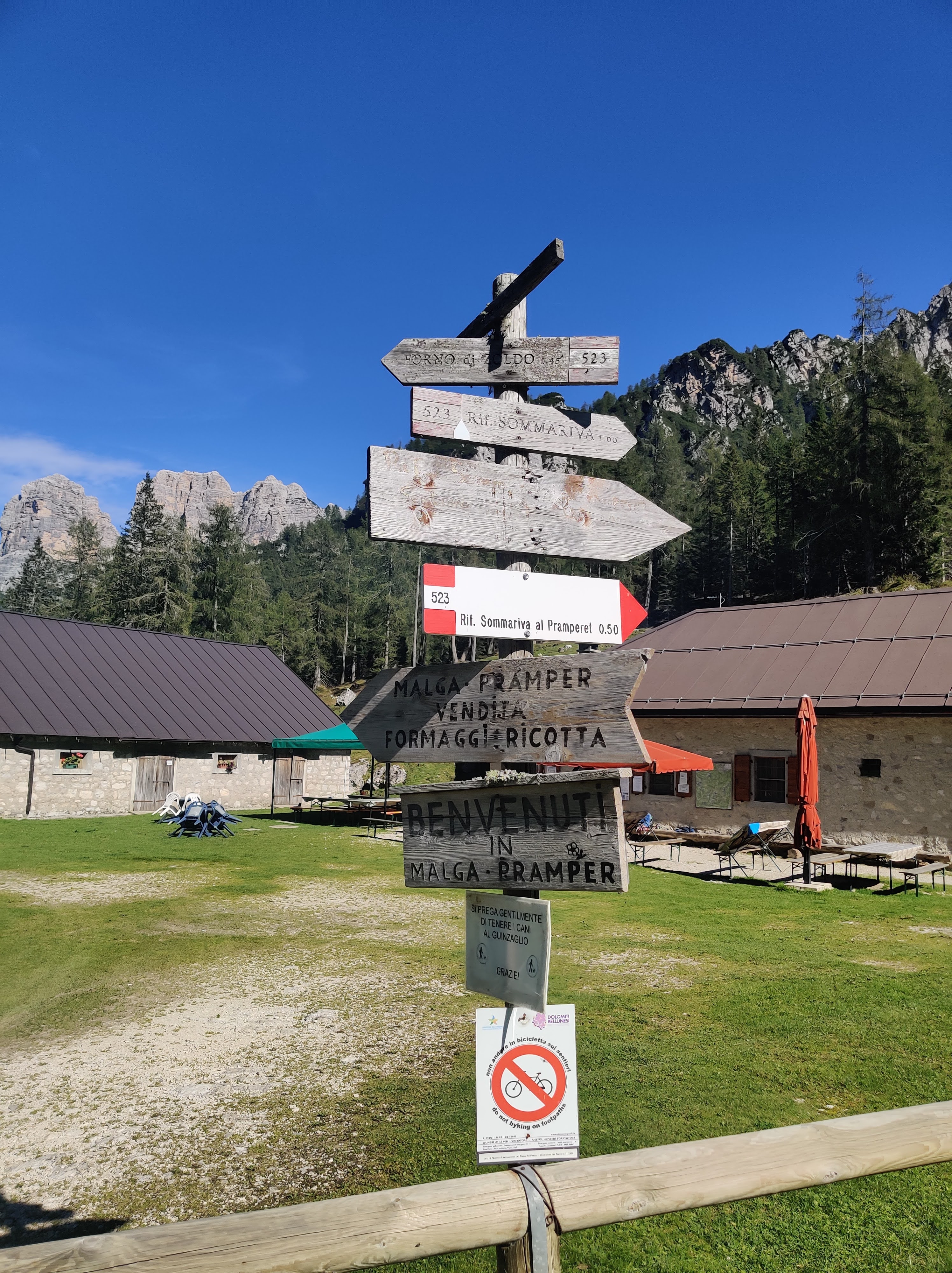
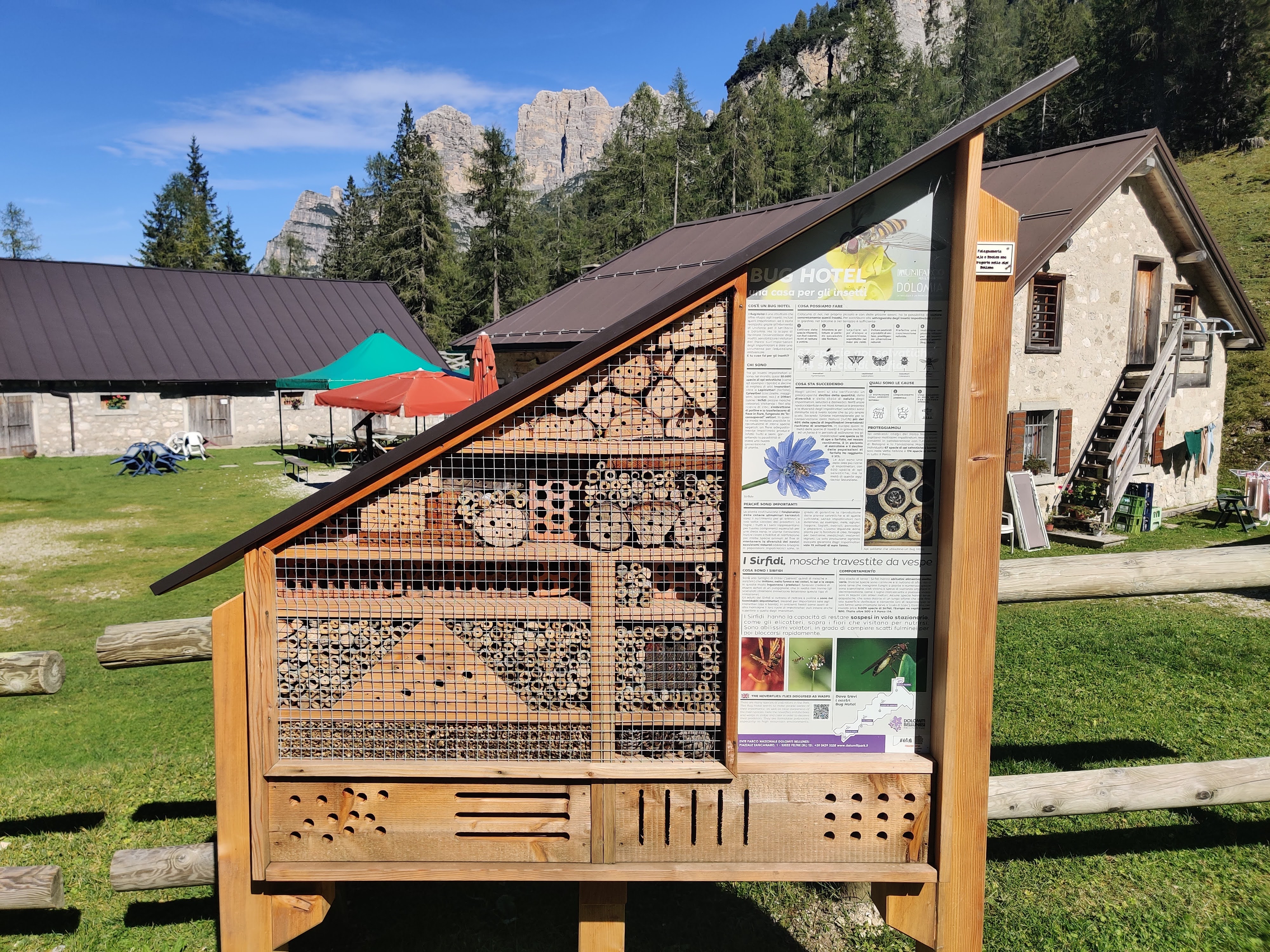
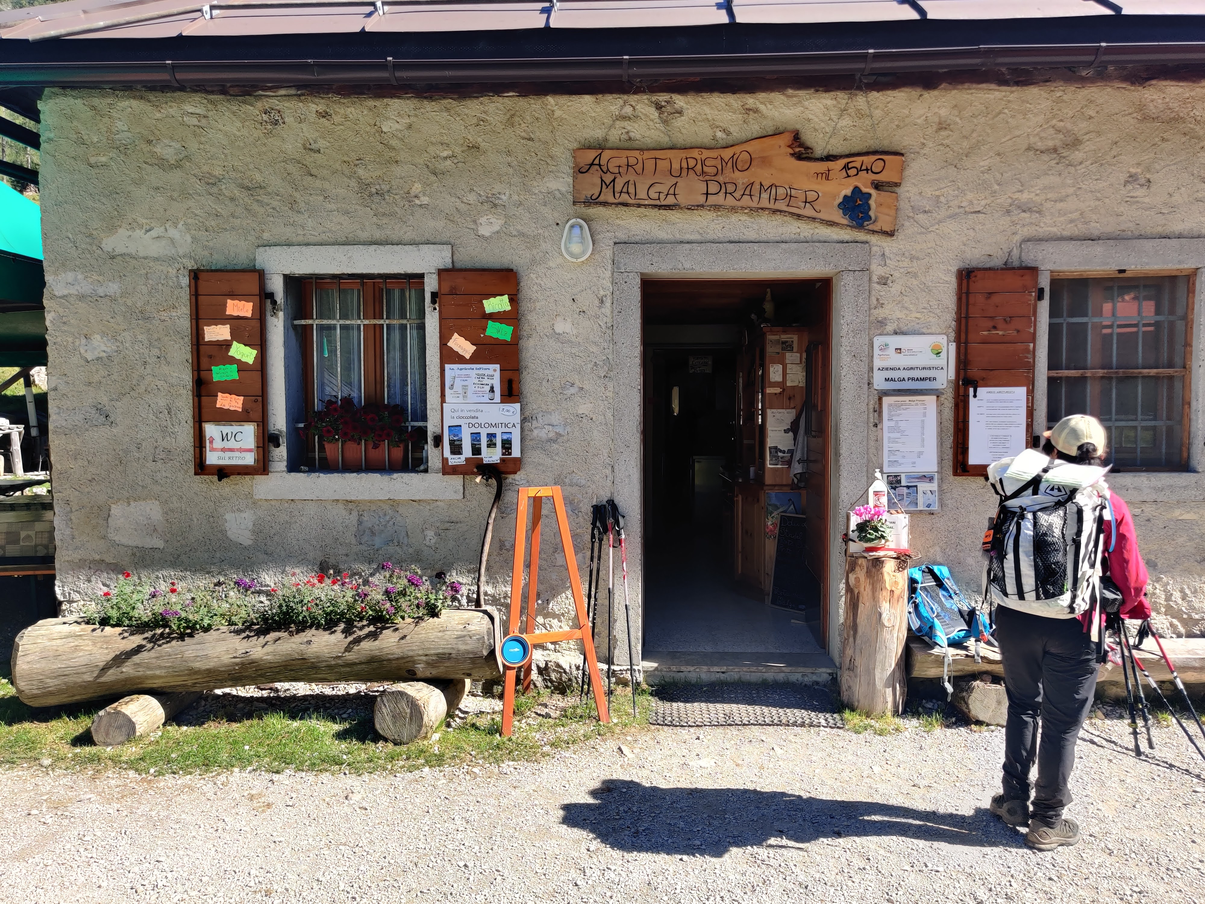
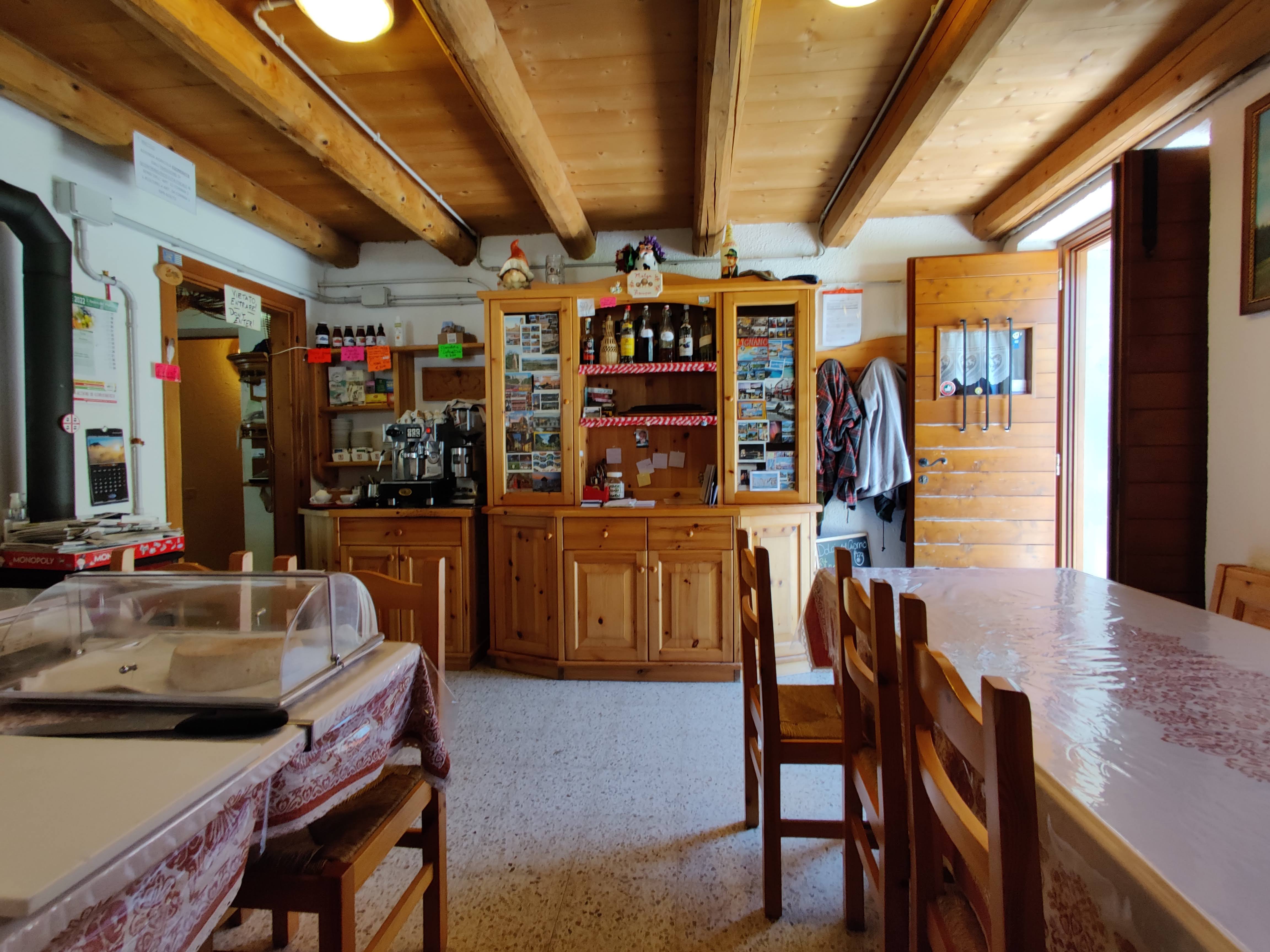
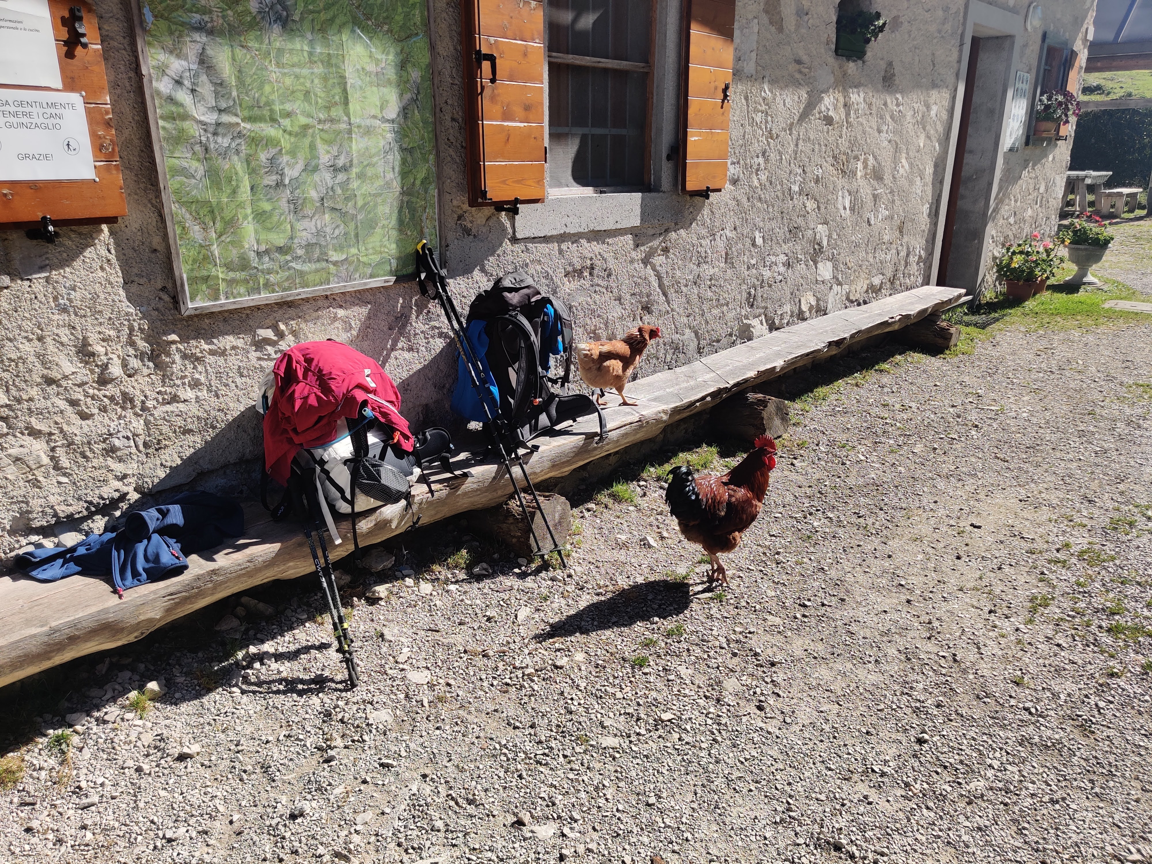
And we arrived! With time to spare! We had a coffee, watched the locals look for food. They were not shy and had to be shoo-ed away from our bags.
Our Zoldo Bus driver arrived early so we were on our way well before 3:30.
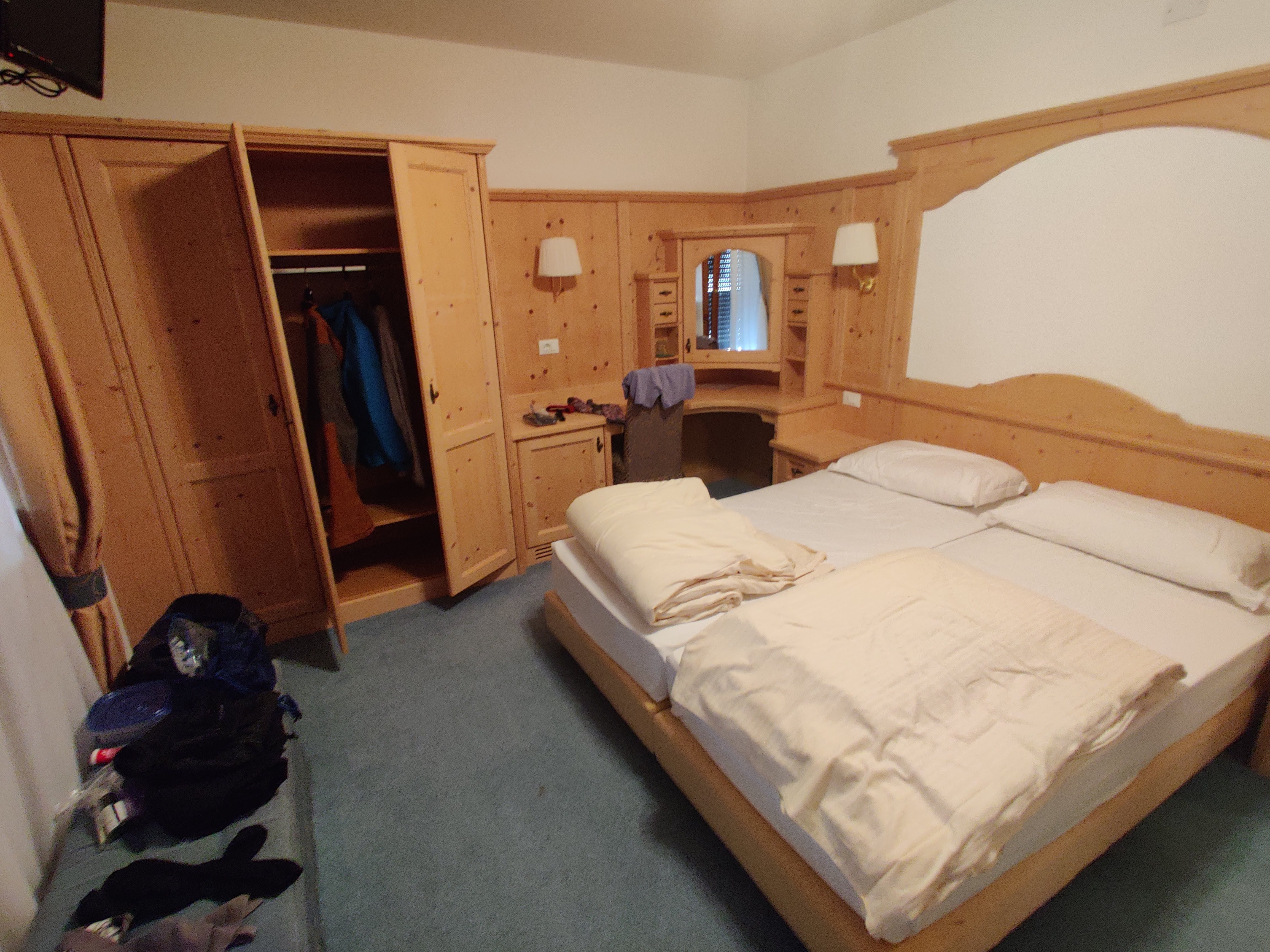
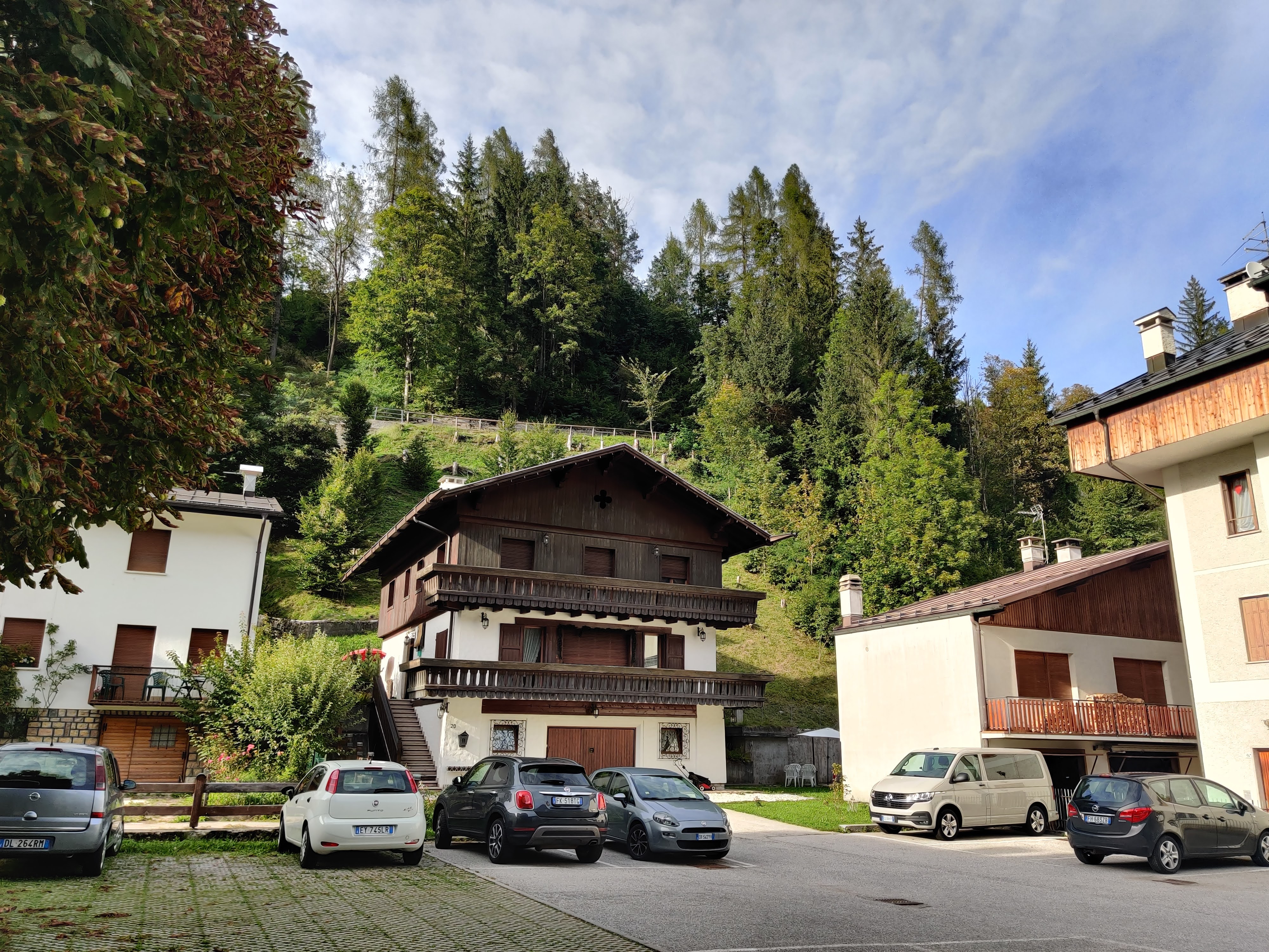
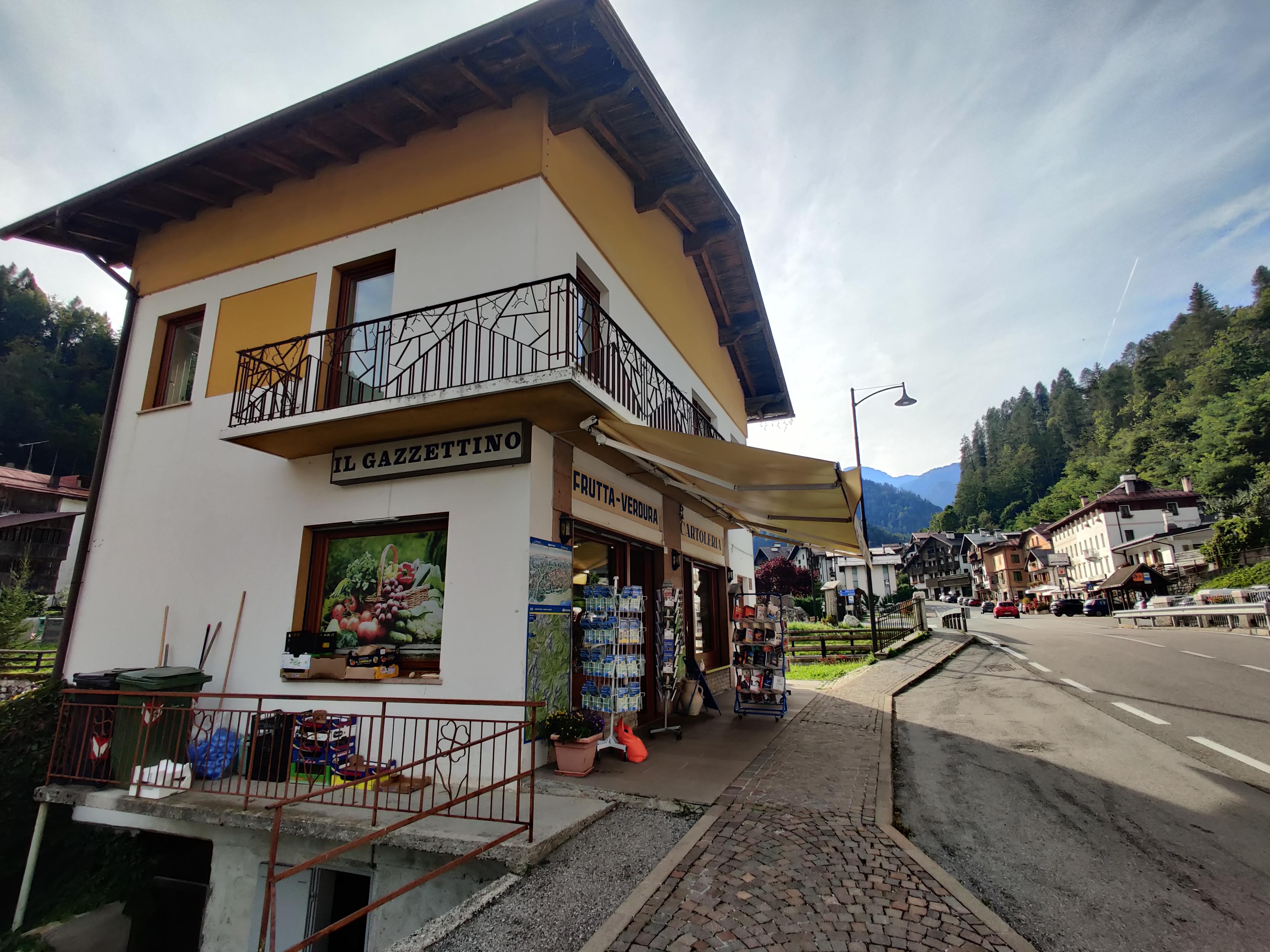
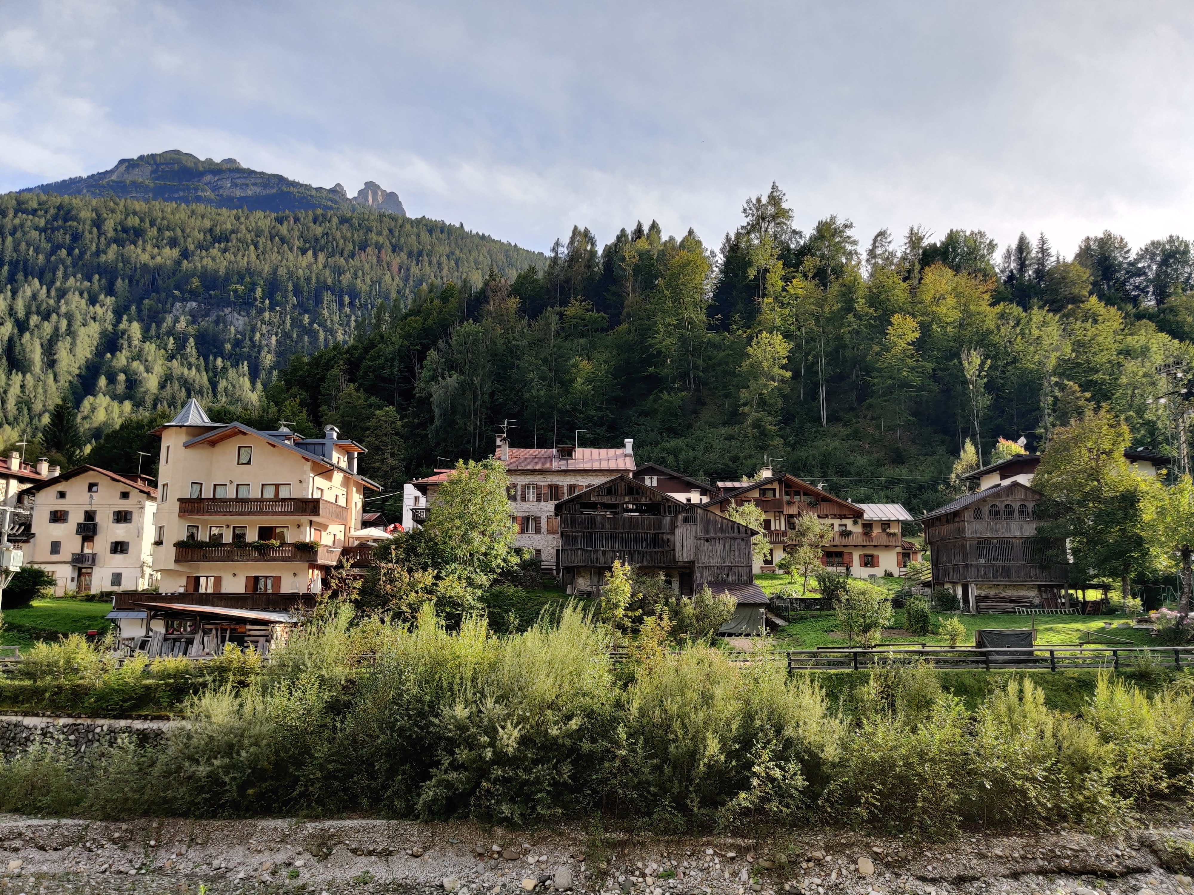
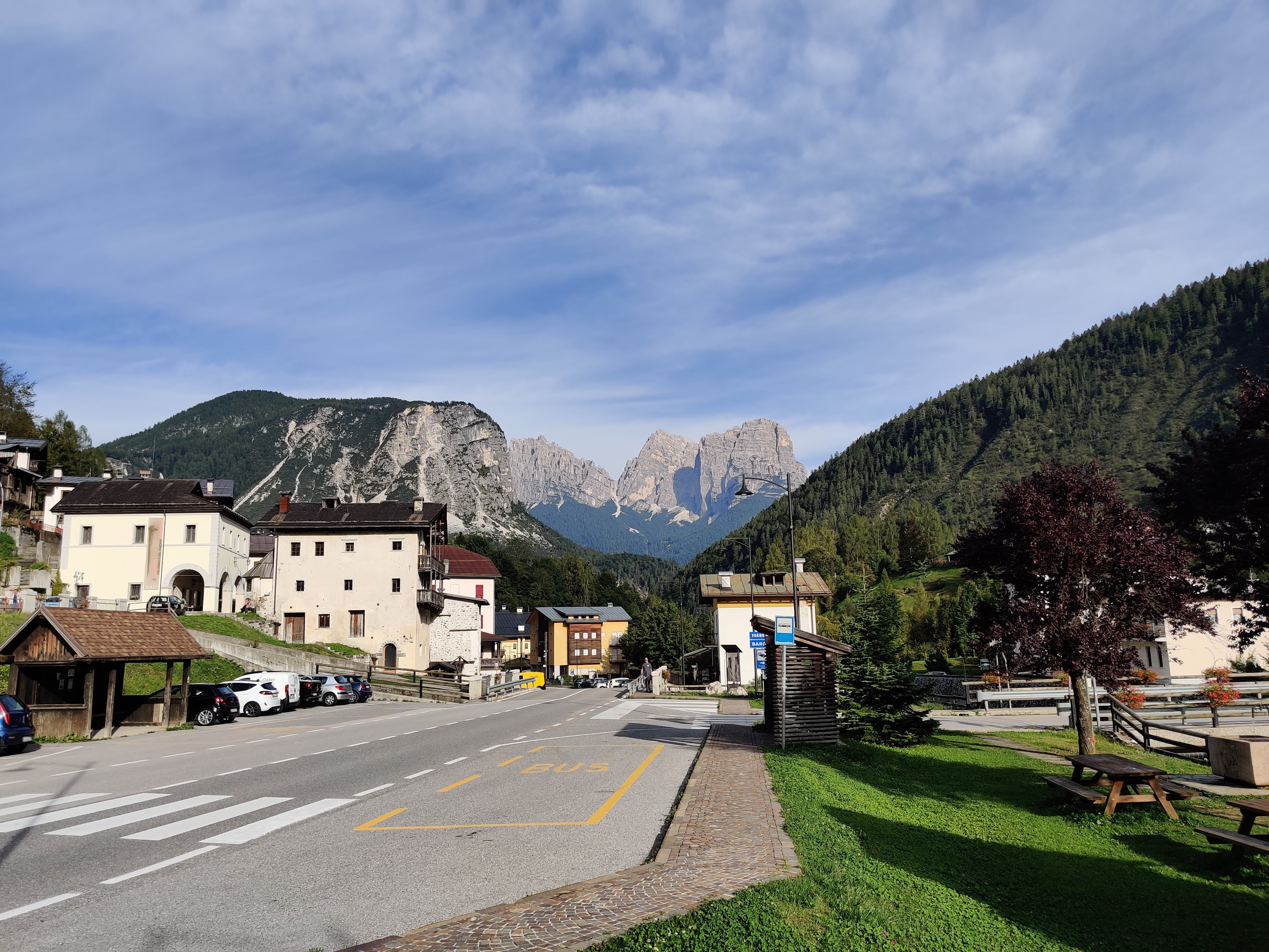
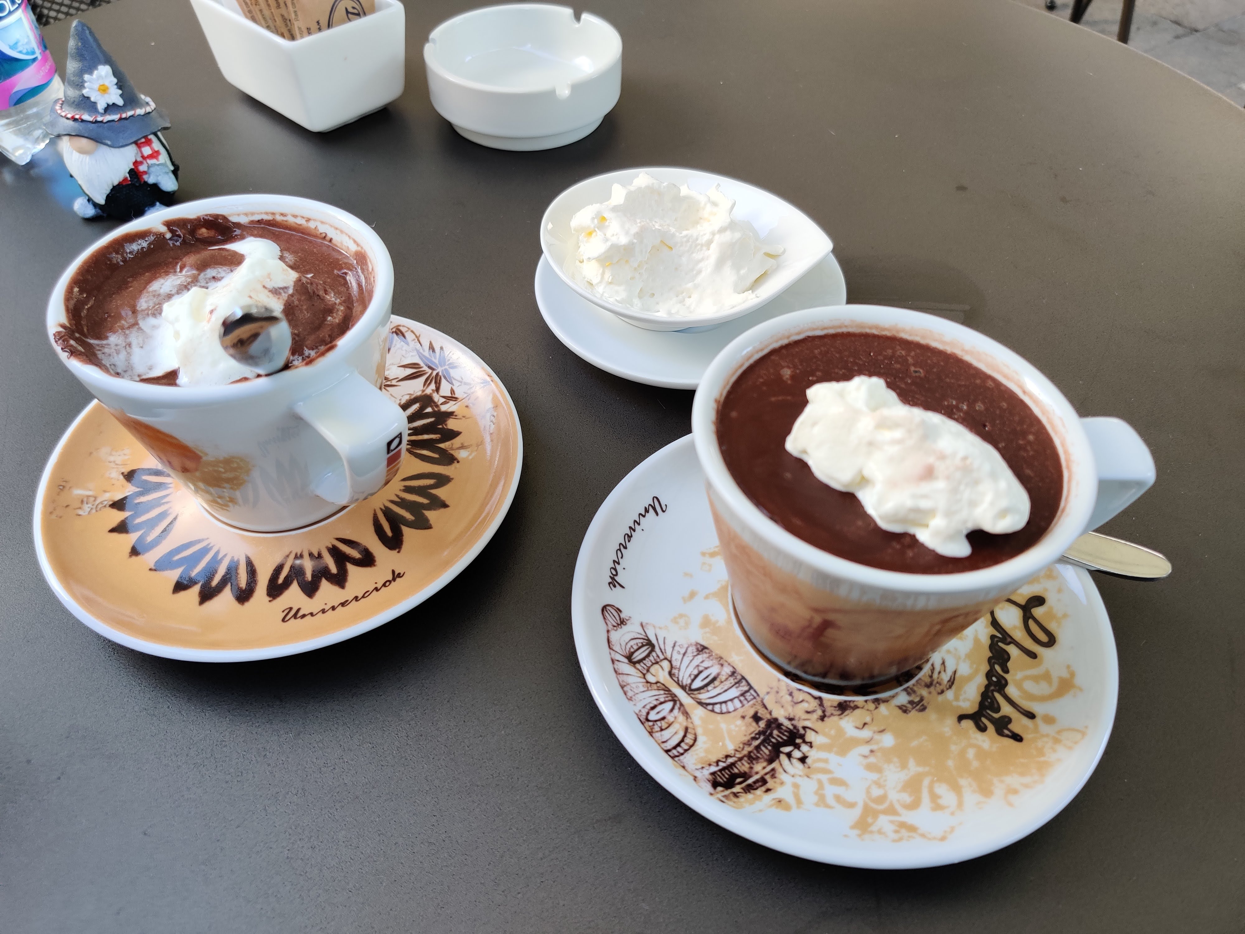
Hotel Garni Posta was such a treat to stay in. It was quick to check-in and we had a nice large room. After a shower, we went for a walk around the small town before having very rich hot chocolate. I was surprised to see many rundown buildings, interspersed with hotels, restaurants, and shops.
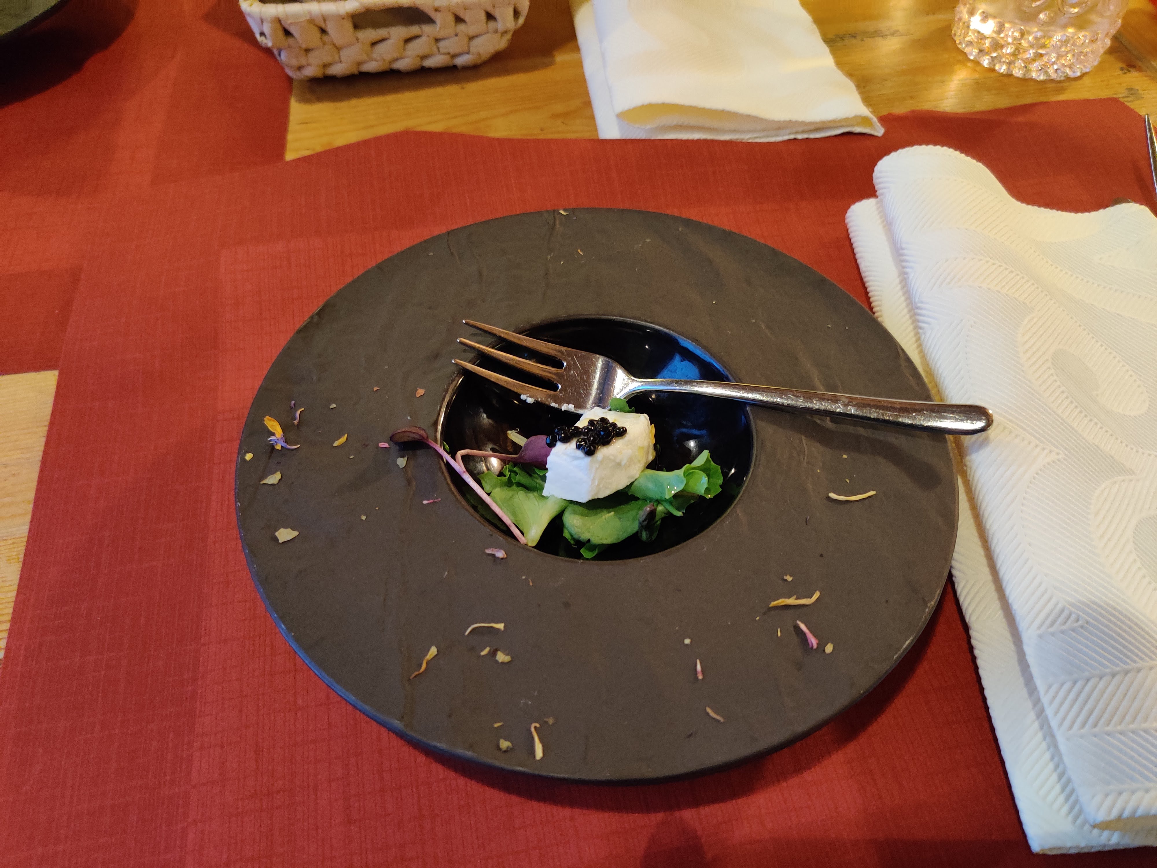
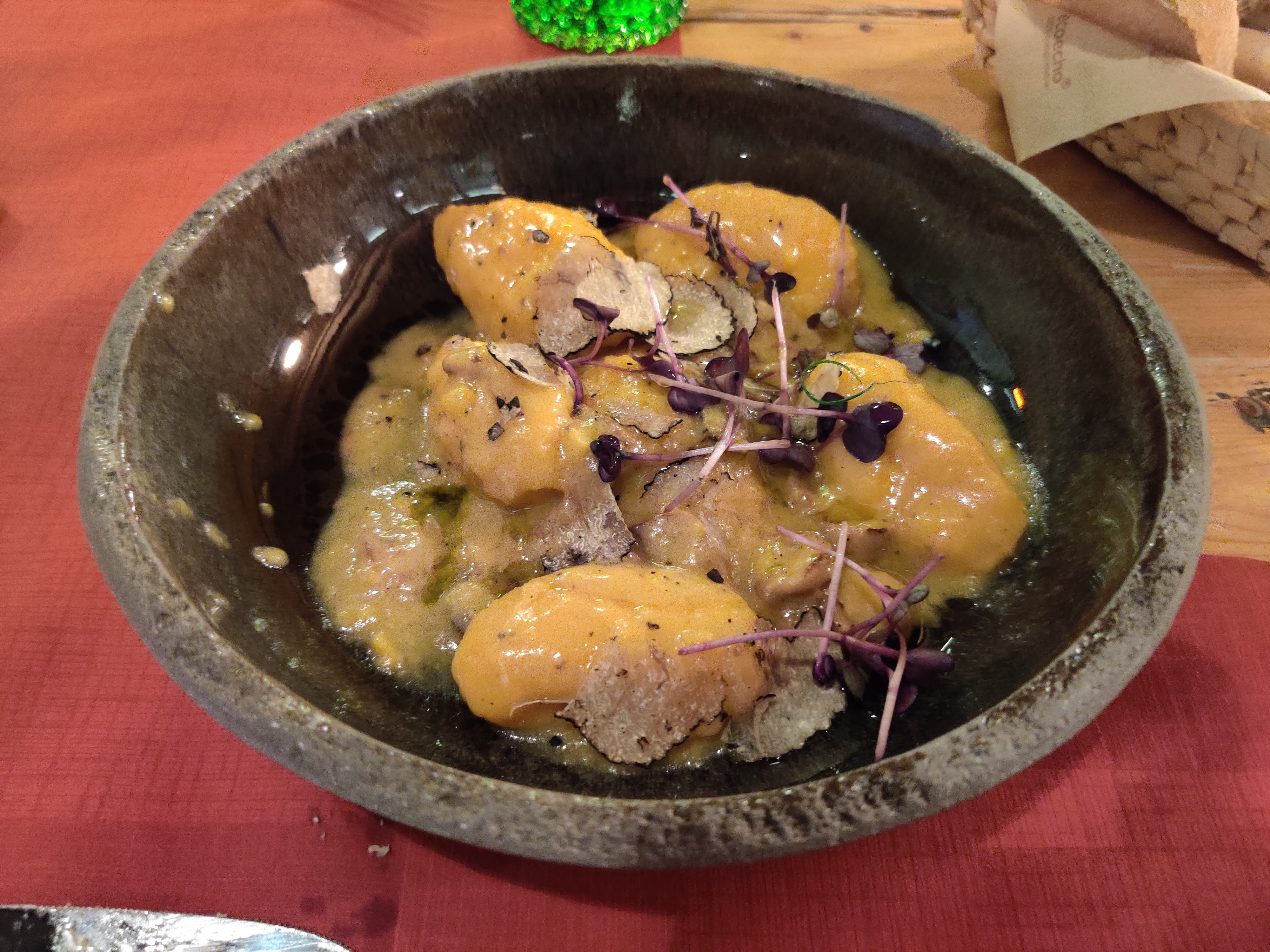
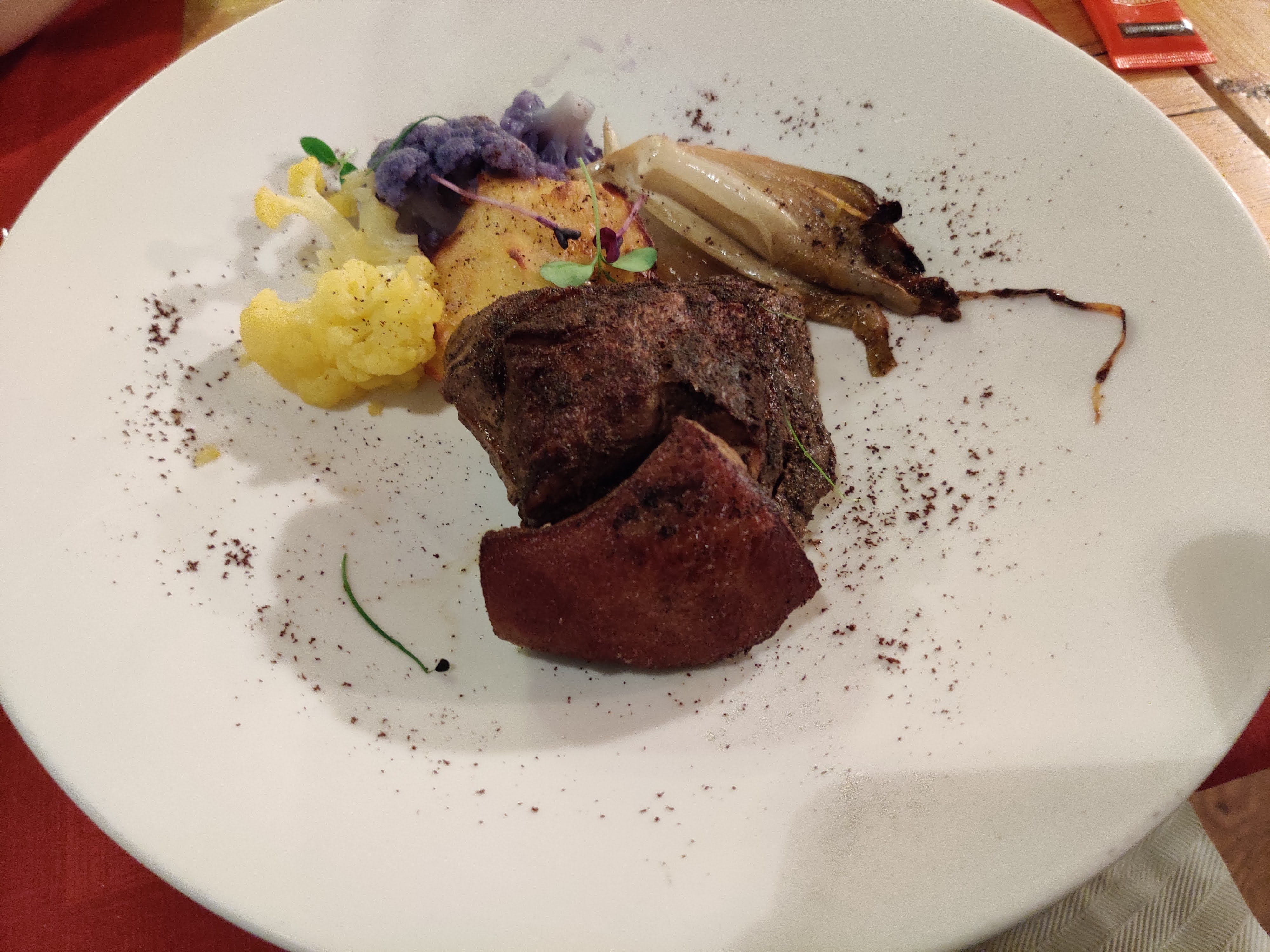
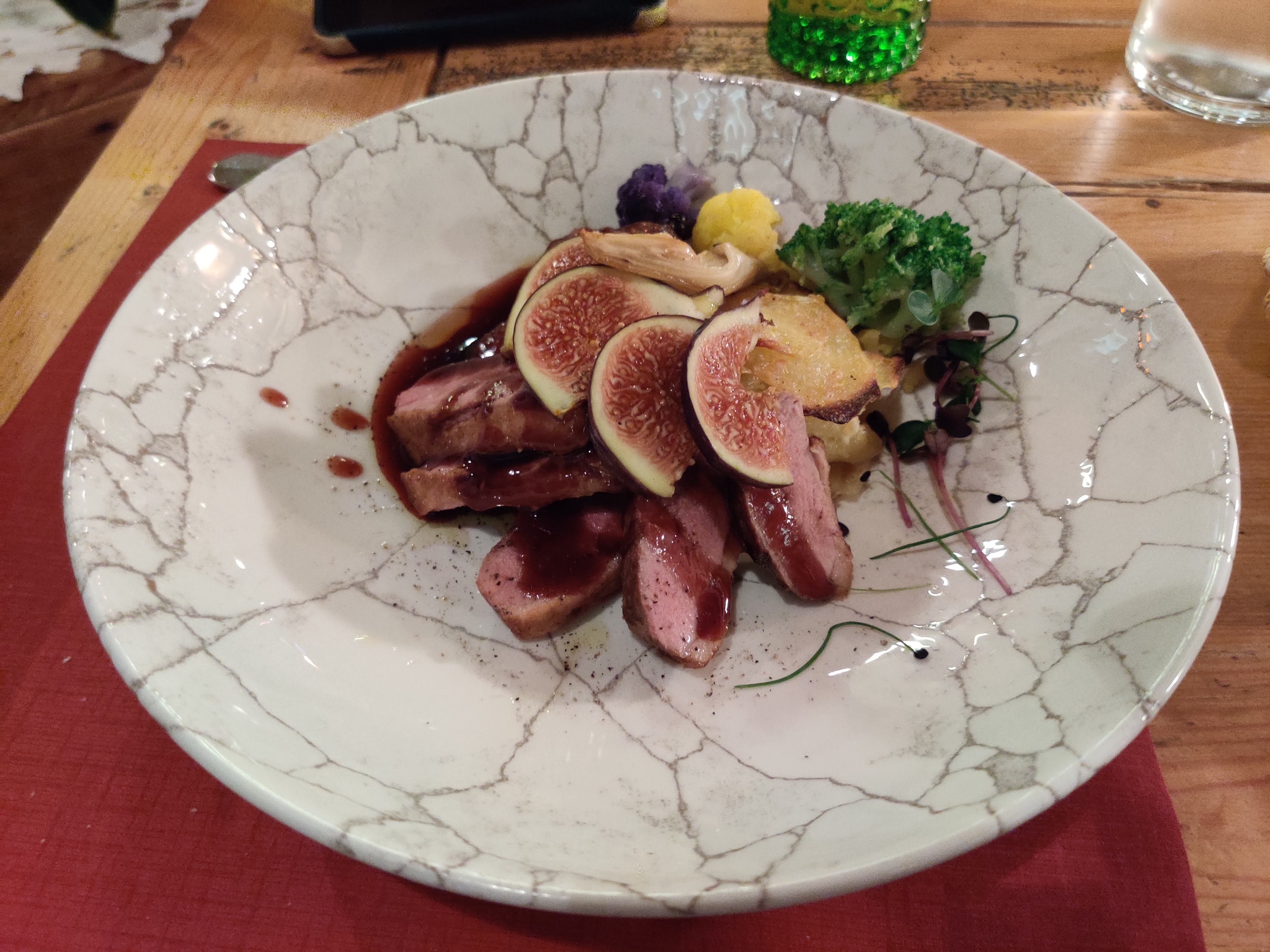
We had dinner at Tana De L’Ors – food was phenomenal. Everything we ordered was flavourful. The duck breast + fig was so juicy.
We did it. Almost 100K and 252,230 steps over 8 days.
On to… Venice!


Leave a Reply